Troparyovo
Appearance
Troparyovo Тропарёво | |||||||||||
|---|---|---|---|---|---|---|---|---|---|---|---|
| Moscow Metro station | |||||||||||
 | |||||||||||
| General information | |||||||||||
| Location | Troparyovo-Nikulino District Western Administrative Okrug Moscow Russia | ||||||||||
| Coordinates | 55°38′45″N 37°28′21″E / 55.6459°N 37.4725°E | ||||||||||
| Owned by | Moskovsky Metropoliten | ||||||||||
| Line(s) | |||||||||||
| Platforms | 1 island platform | ||||||||||
| Tracks | 2 | ||||||||||
| Construction | |||||||||||
| Structure type | Shallow single-vault | ||||||||||
| Depth | 12 metres (39 ft) | ||||||||||
| Platform levels | 1 | ||||||||||
| Parking | No | ||||||||||
| Accessible | Yes | ||||||||||
| History | |||||||||||
| Opened | 8 December 2014 | ||||||||||
| Services | |||||||||||
| |||||||||||
| |||||||||||
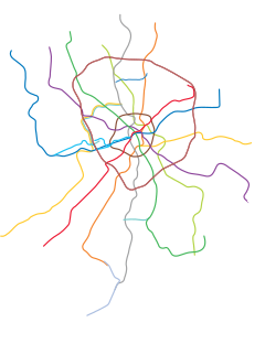
Troparyovo (Russian: Тропарёво) a station on the south-western part of the Moscow Metro's Sokolnicheskaya Line. It opened on 8 December 2014 and served as the line terminus until 18 January 2016.[1] It comes next after Yugo-Zapadnaya, the previous terminus of the line until 2014.[2] Two stations beyond Troparyovo, Rumyantsevo and Salaryevo were opened in 2016.
Name
The station is named after the Troparyovo microdistrict, which, in turn, inherited its name from the village standing here before the expansion of Moscow.
Location
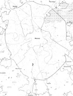
The station is located in the southwestern part of Moscow, at the intersection of Leninsky Avenue and Ruzskaya Street, at the border between Tyoply Stan and Troparyovo-Nikulino districts.
References
Wikimedia Commons has media related to Troparyovo (Moscow Metro).
- ^ В Москве открыли станцию метро «Тропарёво» (in Russian). RT. 8 December 2014. Retrieved 8 December 2014.
- ^ Свет в конце тоннеля - планы по развитию московского метро (in Russian). Echo of Moscow. 10 July 2014. Retrieved 10 July 2014.


