Wargan, Victoria
Appearance
| Wargan Victoria | |||||||||||||||
|---|---|---|---|---|---|---|---|---|---|---|---|---|---|---|---|
| Coordinates | 34°16′S 141°57′E / 34.267°S 141.950°E | ||||||||||||||
| Population | 53 (2021 census)[1] | ||||||||||||||
| Postcode(s) | 3505 | ||||||||||||||
| Location | |||||||||||||||
| LGA(s) | Rural City of Mildura | ||||||||||||||
| State electorate(s) | Mildura | ||||||||||||||
| Federal division(s) | Mallee | ||||||||||||||
| |||||||||||||||
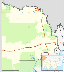
Wargan is a locality in Victoria, Australia, located approximately 26 km from Mildura, Victoria. At the 2021 census, Wargan had a population of 53.[1]
References
[edit]- ^ a b Australian Bureau of Statistics (28 June 2022). "Wargan (State Suburb)". 2021 Census QuickStats. Retrieved 3 January 2025.
- ^ "Map Maker - Australian Travel Maps, Driving Directions and City Street Maps - Travelmate". www.travelmate.com.au. Archived from the original on 8 August 2013. Retrieved 3 January 2025.


