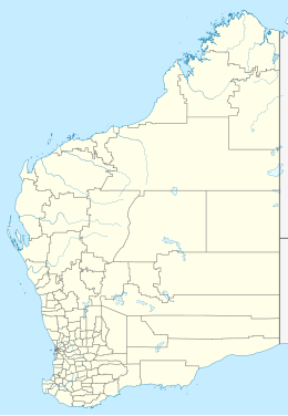
Whitlock Island (Carnarvon)
Appearance
 Whitlock Island Station, part of the Carnarvon Tramway | |
| Geography | |
|---|---|
| Location | Indian Ocean |
| Coordinates | 24°53′10″S 113°38′50″E / 24.88611°S 113.64722°E |
| Administration | |
| State | Western Australia |
| LGA | Shire of Carnarvon |
Whitlock Island is an island near Carnarvon in Western Australia. It was named after Frank Whitlock who was a mayor of Carnarvon between 1908 and 1915.
The island is part of the Gascoyne River delta.[1][2]
The island was a stop-over point of the Carnarvon tramway which ran from Carnarvon to the Carnarvon's One Mile Jetty on Babbage Island.[3][4]
See also
[edit]References
[edit]- ^ Murray, Ian; Hercock, Marion; Murray, Ian; Hercock, Marion (2008), Where on the coast is that?, Hesperian Press, p. 325, ISBN 978-0-85905-452-2
- ^ Filkin, Robin (1986), Once in a lifetime! : the redevelopment of Babbage Island, Whitlock Island and the fascine, Carnarvon : draft report, R. Filkin, retrieved 27 September 2023
- ^ "Tramway Bridge and Tramway". inherit.stateheritage.wa.gov.au. Shire of Carnarvon. Retrieved 28 September 2023.
- ^ Gostelow, Philip (2021), Remnants of wooden tram trays adjacent to One Mile Jetty, Carnarvon, 2021, retrieved 28 September 2023

