
Washington State Route 542
State Route 542 | ||||
|---|---|---|---|---|
| Mount Baker Highway | ||||
 A map of Whatcom County with SR 542 highlighted in red | ||||
| Route information | ||||
| Auxiliary route of I-5 | ||||
| Maintained by WSDOT | ||||
| Length | 57.24 mi[1] (92.12 km) | |||
| Existed | 1964[2]–present | |||
| Tourist routes | ||||
| Major junctions | ||||
| West end | ||||
| East end | Mt. Baker Ski Area | |||
| Location | ||||
| Country | United States | |||
| State | Washington | |||
| Counties | Whatcom | |||
| Highway system | ||||
| ||||

State Route 542 (SR 542) is a 57.24-mile-long (92.12 km) state highway in the U.S. state of Washington, serving Mount Baker in Whatcom County. SR 542 travels east as the Mount Baker Highway from an interchange with Interstate 5 (I-5) in Bellingham through the Nooksack River valley to the Mt. Baker Ski Area at Austin Pass. It serves as the main highway to Mount Baker and the communities of Deming, Kendall, and Maple Falls along the Nooksack River. The highway was constructed in 1893 by Whatcom County as a wagon road between Bellingham and Maple Falls and was added to the state highway system as a branch of State Road 1 in 1925. The branch was transferred to Primary State Highway 1 (PSH 1) during its creation in 1937 and became SR 542 during the 1964 highway renumbering.
Route description[edit]
SR 542 begins as Sunset Drive and the Mount Baker Highway at a partial cloverleaf interchange with I-5 to the northeast of downtown Bellingham.[3] The highway travels northeast through suburban neighborhoods along Squalicum Creek and passes Squalicum High School as it leaves the city of Bellingham. SR 542 continues northeast through rural Whatcom County, crossing the Nooksack River and intersecting SR 9 at a roundabout. The concurrent SR 9 and SR 542 travel southeast through the community of Deming along a BNSF rail line and passes Mount Baker Senior High School.[4] SR 542 leaves SR 9 east of Deming and turns north along the North Fork of the Nooksack River and the eastern slope of Sumas Mountain to Kendall, where it serves as the southern terminus of SR 547. The Mount Baker Highway turns east and continues along the Nooksack River North Fork into the Mount Baker-Snoqualmie National Forest at Glacier in the foothills of Mount Baker.[5] SR 542 turns south and serves the Mt. Baker Ski Area on the northeast side of the mountain before splitting into a one-way pair around Picture Lake.[6][7] The Mount Baker Highway continues through Austin Pass and ends at Artist Point, located at 5,210 feet (1,588.01 m) above sea level on Kulshan Ridge.[1][8]

Every year, the Washington State Department of Transportation (WSDOT) conducts a series of surveys on its highways in the state to measure traffic volume. This is expressed in terms of annual average daily traffic (AADT), which is a measure of traffic volume for any average day of the year. In 2011, WSDOT calculated that the busiest section of SR 542 was the I-5 interchange in Bellingham, serving 38,000 vehicles, while the least busy section of SR 542 was the one-way pair around Picture Lake in Mount Baker-Snoqualmie National Forest, serving 230 vehicles.[9] The Mount Baker Highway is designated as a National Forest Scenic Byway and serves as the eastern section of the Ski to Sea Race between Mount Baker and Maple Falls, a 90-mile (140 km) Memorial Day race with seven legs hosting seven events.[10][11][12] The eastern terminus of SR 542, at Artist Point on Kulshan Ridge, is only open in the summer between July and October due to extreme weather conditions.[13][14][15]
History[edit]
The Mount Baker Highway was constructed by Whatcom County in 1893 as a wagon road traveling northeast from Bellingham along the Nooksack River through Deming and Kendall to Maple Falls.[16][17][18] The wagon road was extended from Maple Falls through Glacier to the Mt. Baker Ski Area at Heather Meadows began 1921 and ended in 1926.[19][20][21] The Mount Baker Highway was added to the state highway system in 1925 as the Austin Pass branch of State Road 1 and was extended to its current terminus at Artist Point in 1931.[22][23][24] The highway was closed seasonally between Glacier and Artist Point until the filming of The Call of the Wild in 1934 and 1935 prompted interest in the Mount Baker area.[25][26] The Department of Highways began clearing the highway of snow during the winter of 1934 for the film and continued annually between Glacier and Heather Meadows;[27][28] however, the highway was not cleared during World War II due to gasoline shortages.[16] The highway was designated as the Austin Pass branch of PSH 1 during the creation of the primary and secondary state highways in 1937 and renumbered to SR 542 in 1964.[29][30][31] The entire route, between Bellingham and Austin Pass, was designated as part of the Washington State Scenic and Recreational Highways program in 1987 and a National Forest Scenic Byway on November 1, 1988.[32][33]
A rock wall collapse on October 12, 2020, closed access to the Artist Point section of SR 542 for ten months while repairs were made. The rock wall was rebuilt by WSDOT and the section was reopened in August 2021.[34]
Major intersections[edit]
The entire highway is in Whatcom County.
| Location | mi[1] | km | Destinations | Notes | |
|---|---|---|---|---|---|
| Bellingham | 0.00– 0.06 | 0.00– 0.097 | Western terminus, interchange | ||
| | 9.98 | 16.06 | West end of SR 9 overlap, roundabout | ||
| | 14.57 | 23.45 | East end of SR 9 overlap | ||
| Kendall | 22.91 | 36.87 | Southern terminus of SR 547 | ||
| Mount Baker NF | 57.24 | 92.12 | Mt. Baker Ski Area | Eastern terminus | |
1.000 mi = 1.609 km; 1.000 km = 0.621 mi
| |||||
References[edit]
- ^ a b c Staff (2012). "State Highway Log: Planning Report 2012, SR 2 to SR 971" (PDF). Washington State Department of Transportation. pp. 1709–1721. Archived (PDF) from the original on February 10, 2017. Retrieved February 20, 2013.
- ^ "47.17.795: State route No. 542". Revised Code of Washington. Washington State Legislature. 1970. Archived from the original on October 3, 2006. Retrieved February 20, 2013.
- ^ "SR 5 - Exit 255: Junction SR 542/Sunset Dr" (PDF). Washington State Department of Transportation. September 15, 2004. Archived (PDF) from the original on March 4, 2016. Retrieved February 21, 2013.
- ^ 2011 Washington State Rail System (PDF) (Map). Washington State Department of Transportation. January 2012. Archived from the original (PDF) on June 12, 2013. Retrieved February 21, 2013.
- ^ "Vicinity Map: Mt. Baker-Snoqualmie National Forest" (PDF). United States Forest Service. April 8, 2008. Archived (PDF) from the original on October 15, 2011. Retrieved February 21, 2013.
- ^ Mt. Baker 2012–13 Trail Map (PDF) (Map). Mt. Baker Ski Area. 2012. Archived from the original (PDF) on December 3, 2012. Retrieved February 21, 2013.
- ^ "SR 542: Junction SR 542 CO MTBAKR" (PDF). Washington State Department of Transportation. April 28, 2006. Archived (PDF) from the original on March 4, 2016. Retrieved February 21, 2013.
- ^ Google (February 20, 2013). "State Route 542" (Map). Google Maps. Google. Retrieved February 20, 2013.
- ^ Staff (2011). "2011 Annual Traffic Report" (PDF). Washington State Department of Transportation. pp. 206–207. Archived (PDF) from the original on June 13, 2013. Retrieved February 21, 2013.
- ^ Mount Baker Highway (Route 542): Map (Map). United States Department of Transportation, Federal Highway Administration. Archived from the original on March 22, 2007. Retrieved March 10, 2013.
- ^ Moore, David Leon (May 26, 2010). "Grueling outdoor adventure race blends sportsmanship with competitiveness". USA Today. Archived from the original on February 24, 2013. Retrieved February 21, 2013.
- ^ 2012 Ski to Sea Race Course (PDF) (Map). Ski to Sea Race. 2012. Archived from the original on September 2, 2013. Retrieved February 21, 2013.
- ^ "Artist Point - history of opening and closing dates". Washington State Department of Transportation. Archived from the original on August 14, 2013. Retrieved February 21, 2013.
- ^ "Artist Point - Frequently Asked Questions". Washington State Department of Transportation. Archived from the original on January 2, 2013. Retrieved February 21, 2013.
- ^ Terpening, Dennis (October 15, 2012). "Crews to close road to Artist Point at Mount Baker". Washington State Department of Transportation. Archived from the original on October 19, 2012. Retrieved February 21, 2013.
- ^ a b "History and timeline of the road to Artist Point". Washington State Department of Transportation. Archived from the original on August 14, 2013. Retrieved February 23, 2013.
- ^ Washington (Whatcom County): Sumas Quadrangle (JPG) (Map). 1:250,000. United States Geological Survey. August 1908. Archived from the original on March 13, 2011. Retrieved February 23, 2013.
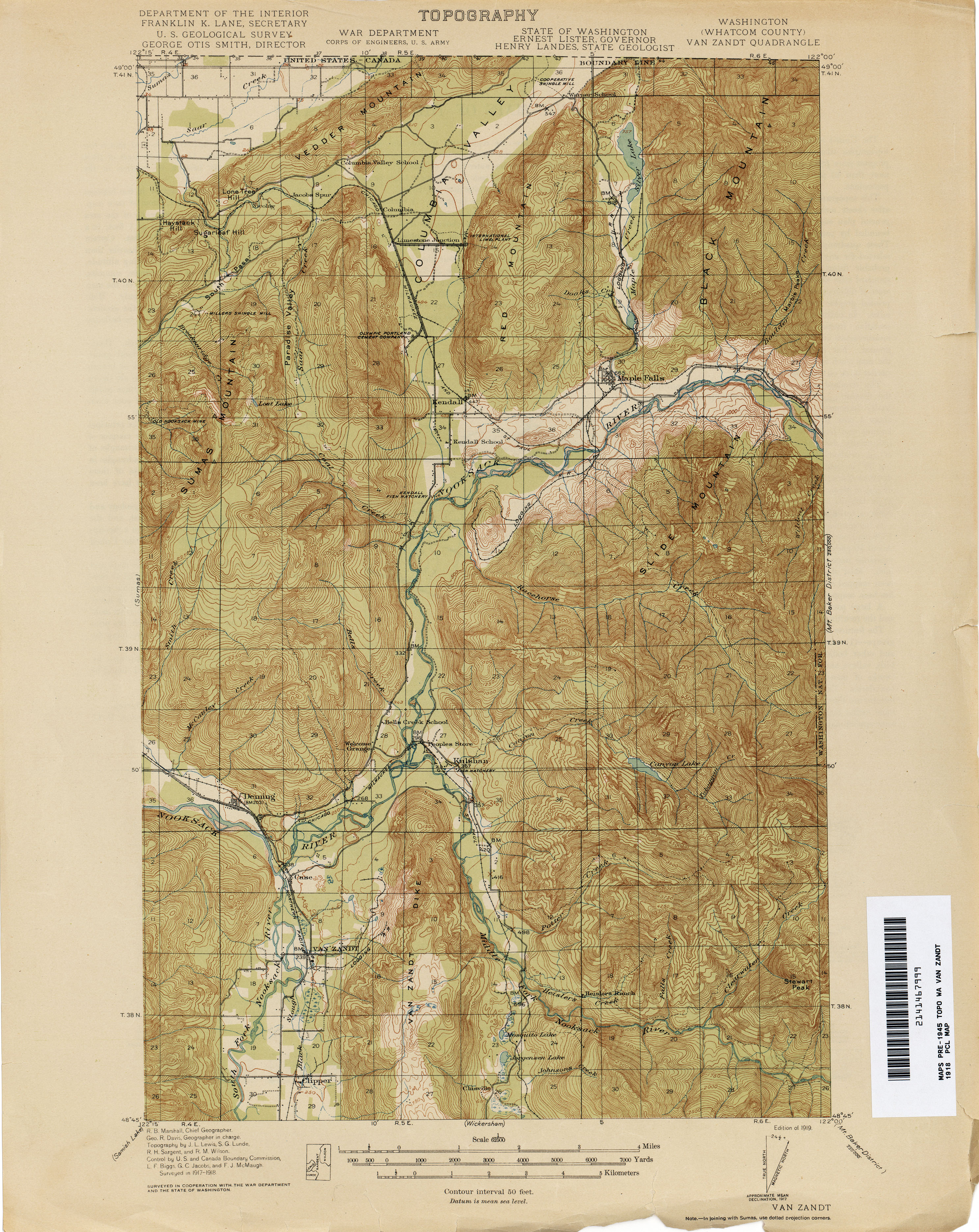
- ^ Washington (Whatcom County): Van Zandt Quadrangle (JPG) (Map). 1:250,000. United States Geological Survey. 1919. Archived from the original on March 13, 2011. Retrieved February 23, 2013.
- ^ Heller, p. 7.
- ^ The Mountaineer, Vol. XVIII, No. 7. Mountaineers Books. June 1926. p. 6.
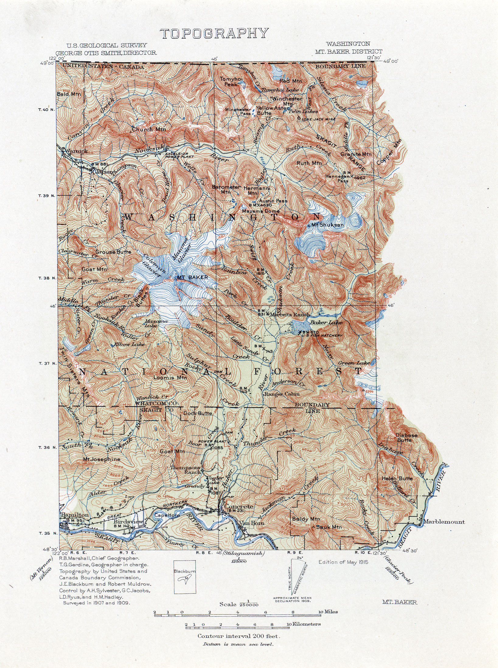
- ^ Washington: Mt. Baker District (JPG) (Map). 1:250,000. United States Geological Survey. May 1915. Archived from the original on March 13, 2011. Retrieved February 23, 2013.
- ^ Washington State Legislature (February 18, 1925). "Chapter 26: An Act relating to and establishing, classifying, naming and fixing the routes of certain state highways". Session Laws of the State of Washington (1925 ed.). Olympia, Washington: Washington State Legislature. p. 59. Retrieved February 23, 2013.
Section 1. A primary state highway, to be known as State Road No. 1 or the Pacific Highway, is established as follows: From a junction in the city of Bellingham; thence by the most feasible route in an easterly direction to Austin Pass in Whatcom County.
- ^ Rand McNally Junior Road Map of Washington (Map). Rand McNally. 1926. Archived from the original on December 20, 2014. Retrieved February 23, 2013.
- ^ Heller, p. 31.
- ^ "Mount Baker Gale Defied Film 'Call of the Wild'". The Seattle Times. January 3, 1935.
- ^ "Even Mt. Baker Blizzard Can't Stop Cameras". The Seattle Times. January 21, 1935.
- ^ American Ski Annual. United States Ski and Snowboard Association. 1935. p. 78.
- ^ Heller, p. 34.
- ^ Washington State Legislature (March 17, 1937). "Chapter 190: Establishment of Primary State Highways". Session Laws of the State of Washington (1937 ed.). Olympia, Washington: Washington State Legislature. p. 933. Archived from the original on October 1, 2013. Retrieved February 23, 2013.
SECTION 1. A primary state highway to be known as Primary State Highway No. 1, or the Pacific Highway, is hereby established according to description as follows: Also beginning at Bellingham on Primary State Highway No. 1, as herein described, thence in an easterly direction by the most feasible route to a point in the vicinity of Austin Pass in Whatcom county.
- ^ Prahl, C. G. (December 1, 1965). "Identification of State Highways" (PDF). Washington State Highway Commission, Department of Highways. Archived (PDF) from the original on October 30, 2008. Retrieved February 23, 2013.
- ^ Victoria, 1966 (JPG) (Map). 1:250,000. United States Geological Survey. 1966. Archived from the original on October 16, 2012. Retrieved February 23, 2013.
- ^ "47.39.020: Designation of portions of existing highways and ferry routes as part of system". Revised Code of Washington. Washington State Legislature. 2011 [1967]. Archived from the original on January 2, 2014. Retrieved March 10, 2013.
- ^ "Mount Baker Highway (Route 542): Official Designations". United States Department of Transportation, Federal Highway Administration. Archived from the original on March 22, 2007. Retrieved March 10, 2013.
- ^ Mittendorf, Robert (August 17, 2021). "Hiking near Artist Point just got a whole lot easier with this road now open". The Bellingham Herald. Archived from the original on July 23, 2022. Retrieved September 6, 2021.
Works cited[edit]
- Heller, Ramon (1980). Mount Baker Ski Area: A Pictorial History. Mount Baker Recreation Company. ISBN 9780960484607.
External links[edit]
 Media related to Washington State Route 542 at Wikimedia Commons
- Highways of Washington State