
Lotilla River
| Lotilla River | |
|---|---|
 Location of mouth in South Sudan | |
| Location | |
| Country | South Sudan |
| Physical characteristics | |
| Mouth | |
• coordinates | 6°47′00″N 33°09′00″E / 6.78333°N 33.15°E |
The Lotilla River is a river in South Sudan.[1] It rises in marshes on the borders of the erstwhile Eastern Equatoria and Jonglei states and flows north to join the Pibor River near Pibor, at a junction with the Kangen River. The marshes are fed by the Medikiret River, which has its origins in marshes further south.
See also
[edit]References
[edit]- ^ "River Lotilla" GeoView. Retrieved 2015-8-9.
External links
[edit]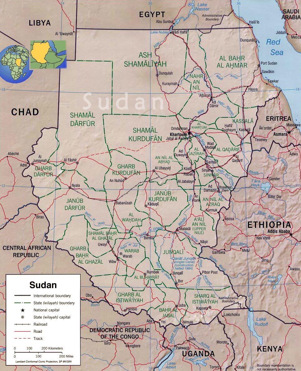
| Counties |  | |
|---|---|---|
| Principal towns | ||
| Airports | ||
| Rivers | ||
| Mountains | ||
| Communities | ||