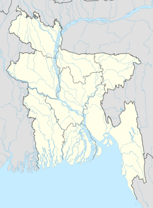
Banani (neighbourhood)
Appearance
Italic text
Banani
বনানী | |
|---|---|
Suburb | |
 Skyline of Banani | |
| Coordinates: 23°47.7′N 90°24.3′E / 23.7950°N 90.4050°E | |
| Country | |
| Division | Dhaka Division |
| District | Dhaka District |
| City Corporation | Dhaka North City Corporation |
| Time zone | UTC+6 (Bangladesh Time) |
| Area code | 1213 |
| Notable sport teams | Old DOHS SC |
Banani is a part of Ward No. 19 in Banani Thana, Dhaka, Bangladesh.[1][2]
Geography
Banani Model Town is located at 23°47′42″N 90°24′17″E / 23.7950°N 90.4047°E. It has a lake called Banani Lake.[3] Korail slum is located on the border of Banani.[4]
History
In November 2016 Dhaka North City Corporation demolished the home of former East Pakistan Governor Abdul Monem Khan.[5] In 2019, 19 were killed in the FR Tower fire.[6]
Population
According to the 2011 Bangladesh census, the population of Banani was 24,718. [7]

Gallery
References
- ^ "NGA GeoName Database". National Geospatial-Intelligence Agency. Retrieved 2016-01-12.
- ^ "Woman hurt in Banani fire". The Daily Star. 2017-01-09. Retrieved 2017-03-11.
- ^ "Dhaka's urban waterways need more attention". The Financial Express. Dhaka. Retrieved 2017-03-11.
- ^ "Of the ignored population". Dhaka Tribune. 2017-02-17. Retrieved 2017-03-11.
- ^ "Ex-Pak governor Monem Khan's Banani residence demolished". Dhaka Tribune. 2016-11-03. Retrieved 2017-03-11.
- ^ "Banani Fire Kills 19". The Daily Star. 29 March 2019.
- ^ http://203.112.218.65:8008/Census2011/Dhaka/Dhaka/Dhaka_C01.pdf


