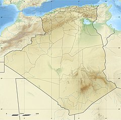
Mount Issa
Appearance
| Mount Issa (Djebel Aïssa) | |
|---|---|
| جبل عيسى | |
| Highest point | |
| Elevation | 2,236 m (7,336 ft) |
| Listing | List of mountains in Algeria |
| Coordinates | 32°54′42″N 0°28′04″W / 32.911667°N 0.467639°W |
| Geography | |
| Location | Naâma, Algeria |
| Parent range | Ksour Range, Saharan Atlas |
Mount Issa or Djebel Aïssa (Arabic: جبل عيسى) is a 2,236 m high mountain in western Algeria, thus the 4th highest in Algeria. It is part of the Ksour Range of the Saharan Atlas, within the larger Atlas Mountain System.[1] Mount Issa is located in the Naâma Province and is one of the main summits of the mountains of the Saharan Atlas.
The Djebel Aissa National Park is a protected area within the area of the mountain since 2003.[2]
See also
References
- ^ Les montagnes d'atlas
- ^ "Parc national de Djebel Aïssa". Archived from the original on 2018-04-18. Retrieved 2013-04-20.
External links

