
Tropical Storm Alberto (1988)
| tropical storm (SSHWS/NWS) | |
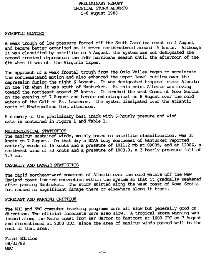
.JPG) Tropical Storm Alberto shortly after becoming a tropical storm | |
| Formed | August 5, 1988 |
|---|---|
| Dissipated | August 8, 1988 |
| Highest winds | 1-minute sustained: 40 mph (65 km/h) |
| Lowest pressure | 1002 mbar (hPa); 29.59 inHg |
| Fatalities | None reported |
| Damage | None |
| Areas affected | Maine, Atlantic Canada |
| Part of the 1988 Atlantic hurricane season | |
Tropical Storm Alberto became a tropical storm further north than any other Atlantic tropical cyclone. The first tropical storm of the 1988 Atlantic hurricane season, Alberto developed from a trough of low pressure off of the coast of South Carolina on August 5. It tracked quickly northeastward, and intensified into a tropical storm at its record latitude on August 7 while located about 60 miles (95 km) east of the Massachusettes island of Nantucket. Alberto continued its fast forward motion, and struck western Nova Scotia late on August 7. It became extratropical the next day, and dissipated shortly thereafter to the north of Newfoundland. Alberto produced light rainfall and gusty winds across its path. No damage was reported.
Storm history

Tropical storm (39–73 mph, 63–118 km/h)
Category 1 (74–95 mph, 119–153 km/h)
Category 2 (96–110 mph, 154–177 km/h)
Category 3 (111–129 mph, 178–208 km/h)
Category 4 (130–156 mph, 209–251 km/h)
Category 5 (≥157 mph, ≥252 km/h)
Unknown
On August 4, a trough of low pressure developed off the coast of South Carolina. Satellite imagery indicated the presence of a low-level circulation, and the system developed into Tropical Depression Two on August 5 while located about 130 miles (210 km) south-southeast of Cape Fear, North Carolina. The depression steadily tracked northeastward. Operationally, it was not classified as a tropical cyclone until 24 hours later, while located about 135 miles (220 km) east of Virginia Beach, Virginia. Under the influence of an approaching weak frontal trough, the depression accelerated its forward motion to the northeast. The trough also enhanced the upper-level outflow of the depression, and at 1200 UTC on August 7 the depression intensified into Tropical Storm Alberto while located about 60 miles (95 km) east of Nantucket, Massachusettes.[1]
Shortly after becoming a tropical storm, the National Hurricane Center issued a tropical storm warning from Bar Harbor to Eastport, Maine. Alberto continued quickly to the northeast at a forward speed of around 29 mph (47 km/h). Due to its fast forward motion, convection remained fairly minimal, resulting in little change in intensity. Late on August 7, Alberto made landfall on the western coast of Nova Scotia near St. Marys Bay. It briefly re-emerged into the Bay of Fundy before crossing the Isthmus of Chignecto and Prince Edward Island. Alberto quickly lost its remaining convection over the cold waters of the Gulf of Saint Lawrence, and became an extratropical cyclone on August 8. Shortly thereafter, the extratropical remnant dissipated in the Atlantic Ocean to the north of Newfoundland.[1]
Impact and records
In Maine, Alberto resulted in brief durations of heavy rainfall and thunderstorms. Rainfall reached about 0.25 inches (8 mm) in Lewiston,[2] with higher totals of over 2.4 inches (60 mm) reported near Millinocket. No damage was reported in Maine.[3] The storm produced peak wind gusts of 48 mph (78 km/h) at Yarmouth, Nova Scotia. Alberto dropped light to moderate amounts of precipitation across its track including a report of 1.78 inches (45.1 mm) in Saint John, New Brunswick,[4] most of which fell in a short amount of time. The rainfall led to localized flooding, which briefly closed some streets.[5] The extratropical remnants of Alberto also produced light rain and some clouds along western Newfoundland.[4]
Located at 41.5º N, Alberto became a tropical storm further north than any other Atlantic tropical cyclone since reliable tropical cyclone observation began in 1941. The previous northernmost latitude at which a system had become a tropical storm was an unnamed hurricane at 40.5º N in 1971. Prior to that, a hurricane in 1858 and another in 1855 were observed at latitudes farther north than Alberto, but their tracks were incomplete and therefore not considered reliable.[6]
Due to the lack of damage, the name Alberto was not retired; it was re-used in 1994, 2000, and 2006.
See also
External links
- National Hurricane Center Preliminary Report for Tropical Storm Alberto
- 1988 Atlantic Hurricane Season Summary
References
- ^ a b National Hurricane Center (1988). "Preliminary Report for Tropical Storm Alberto". Retrieved 2007-03-28.
- ^ Wayne Cotterly (1996). "Hurricanes and Tropical Storms; Their Impact on Maine and Androscoggin County" (PDF). Retrieved 2007-03-28.
- ^ National Weather Service and Department of Earth and Atmospheric Sciences at the University at Albany State University of New York (2001). "The Distribution of Precipitation over the Northeast Accompanying Landfalling and Transitioning Tropical Cyclones". Retrieved 2007-03-28.
- ^ a b Canadian Hurricane Centre (2003). "Storms of 1988 in Canada". Retrieved 2007-03-28.
- ^ Toronto Star (1988-08-08). "Tropical storm Alberto fizzles out before hitting N.S.".
{{cite news}}:|access-date=requires|url=(help) - ^ NHC Hurricane Research Division (2006-02-17). "Atlantic hurricane best track". NOAA. Retrieved 2007-03-28.
{{cite web}}: Check date values in:|date=(help)
Tropical cyclones of the 1988 Atlantic hurricane season | ||
|---|---|---|
 | ||