
New York State Route 26
New York State Route 26 | ||||
|---|---|---|---|---|
 | ||||
| Route information | ||||
| Maintained by NYSDOT | ||||
| Length | 203.80 mi[1] (327.98 km) | |||
| Existed | 1930[2]–present | |||
| Major junctions | ||||
| Location | ||||
| Country | United States | |||
| State | New York | |||
| Counties | Broome, Cortland, Chenango, Madison, Lewis, Oneida, Jefferson | |||
| Highway system | ||||
| ||||

New York State Route 26 is a north-south state highway that runs for 203.80 miles (327.98 km) through Central New York. Its southern terminus is located at the Pennsylvania state line south of the town of Vestal in Broome County, where it becomes Pennsylvania Route 267. Its northern terminus is located at a junction with NY 12 in the village of Alexandria Bay in Jefferson County. NY 26 serves three cities along its routing; one directly (Rome) and two via other roadways (Binghamton via NY 17 and Watertown via NY 3).
NY 26, as a single route, was established in the 1930 renumbering; however, portions of the route had been signed state routes since the 1920s. Since 1930, the route has been realigned several times in the North Country, resulting in a modern routing significantly different from its initial alignment.
Route description
Broome County and the Newark Valley
Route 26 begins at the Pennsylvania state line in Vestal as a continuation of Pennsylvania Route 267, a major thoroughfare in northern Pennsylvania. The road heads northward through Vestal, passing points such as Wildcat Hill (just over the state line), and Pierson Hill, in which Route 26 runs along the base of. As Route 26 heads through Vestal Center, it intersects with several Broome County Routes, and passes through some hills.[3]
| Communities |
|---|
As Route 26 leaves Vestal, it crosses over Pierce Hill and interchanges with New York State Route 434 and Interstate 86.[3] Route 26 crosses a river and enters Endicott, where it becomes concurrent with New York State Route 17C. Route 26 turns to the north soon after, ending the concurrency.[4] Route 26 passes through more hills and intersects with several county routes. Just to the north, in Union Center, New York State Route 38B terminates. Route 26 passes to the east of the Newark Valley, intersecting with several local roads, and heads northward.[5] Route 26 heads north, interchanging with Interstate 81 at 27.72 miles.[6]
Cortland and Chenango Counties
Route 26 enters Whitney Point and becomes concurrent with U.S. Route 11.[6] Route 26 enters a mountainous region again after two concurrencies (one with Route 11 and one with New York State Route 79). Route 26 passes to the east of Dorchester Park, which is located on the shores of the Whitney Point Reservoir. Route 26 enters Cortland County and heads along the Otselic River.
In the hamlet of Willet, Route 26 intersects with New York State Route 41, starting a 3-mile long concurrency.[7] Route 26 and Route 41 intersect with New York State Route 221 just to the west of Willet. The two roads head north through mountains until a split at 42 miles. New York State Route 23 terminates at Route 26, which heads north through Cortland County. Route 26 enters the hamlet of Taylor, New York, where it turns to the east then to the northeast into Chenango County.[8] At 60 miles, Chenango County Route 16 becomes concurrent for a short distance. The two roads pass Otselic Center, a small hamlet in Chenango County.[9] The concurrency ends, and Route 26 heads northeastward, where it becomes concurrent again, this time with New York State Route 80. During the concurrency, Routes 26 and 80 enter Madison County.
Madison and Oneida Counties
Routes 26 and 80 split in the hamlet of Georgetown.[10] Route 26 heads to the northeast, passing mountains and hills to the right and left. For much of the distance of Route 26 in Madison County, Route 26 intersects with local Madison County Routes. Route 26 enters the hamlet of West Eaton and turns to the west towards Oneida County at 72.3 miles. Just south of Bouckville, New York State Route 46 intersects. U.S. Route 20 becomes concurrent to the east of Bouckville.[11] The concurrency stretches for five miles, with New York State Route 12B joining at 80.5 miles. Routes 26, 20 and 12B enter the village of Madison and split in two directions. Route 20 heads east and Routes 26/12B head north. Routes 26 and 12B exits Madison County for Oneida county at 85.3 miles.
Routes 12B and 26 enter the village of Oriskany Falls, where Route 26 splits to the northwest while 12B heads northward.[12] Route 26 goes through farmland for several miles before entering Vernon Center, where New York State Route 31 terminates at a traffic circle.[13] About a mile north of Vernon Center, New York State Route 5 intersects. Route 26 passes through more farmland, crossing over the New York State Thruway.[14] Route 26 enters the city of Rome at 103.5 miles and becomes concurrent with New York State Route 365.[15] The concurrency is short, as Route 26 heads northward through more farmland after 1.8 miles. In downtown Rome, Routes 49 and 69 intersect with Route 26, with New York State Route 46 coming soon after. Route 26 leaves the City of Rome as it stretches towards Lewis County. Route 26 passes to the west of Delta Lake as it heads through Stokes Center.[16]
Lewis and Jefferson Counties
Route 25 enters Lewis County at 125.5 miles, entering the town of West Leyden.[17] There, New York State Route 294 begins to the east. Route 26 heads through farmlands, coming and passing through the village of Constableville.[18] At 137 miles, New York State Route 12D intersects and heads north. Route 26 heads to the northwest. Route 26 passes along the base of a mountain range, crossing through several hamlets. At 150.5 miles, New York State Route 12 becomes concurrent. Routes 12 and 26 enter Lowville and intersects with New York State Route 812.[19] Route 12 turns to the west at this intersection, and Route 26 heads north along Route 812. The concurrency is short-lived, and Route 26 heads north towards Watertown. New York State Route 410 terminates at 158.2 miles in Denmark. Shortly after the intersection with Lewis County Route 55, Route 26 leaves Lewis County for Jefferson County.[20]
Route 26 enters West Carthage and becomes concurrent with New York State Route 126.[21] Route 126 turns to the west at 166.4 miles, and Route 26 leaves West Carthage for more farmland. New York State Route 3 intersects 4 miles north of West Carthage in the town of Great Bend. Route 26 passes through the Fort Drum Military Reservation and intersects with Jefferson County Route 37. Route 26 leaves the reservation and becomes concurrent with U.S. Route 11 in Le Ray. Routes 26 and 11 pass through more farmland and rural areas until reaching the village of Philadelphia, where the two roads split.[22] Route 26 continues through rural land and enters the village of Theresa at 190 miles. There, Route 26 becomes concurrent with New York State Route 37 for three miles. Route 26 heads to the northeast, through the final stretch of farmland, coming to an end at Route 12 (Seaway Trail) in Alexandria Bay.[23]
History
Modern NY 26 south of US 20 had been an unnumbered road prior to 1930.[2] North of US 20, the road between Oriskany Falls and Rome used to be the southern end of New York State Route 46, and utilized modern NY 26 south of Rome.[24] Further north, the section of modern NY 26 from west of Lyons Falls (at the junction of modern NY 26 and NY 12D) to the village of Lowville was an old alignment of New York State Route 12.[24] From Lowville to its northern terminus in Alexandria Bay, modern NY 26 was then known as New York State Route 48. Old Route 48, however, used a different alignment through Fort Drum. It originally used modern NY 3 to reach Fargo, then U.S. Military Highway through Fort Drum, then Jefferson County Road 194 to reach the village of Theresa. From Theresa, old Route 48 used modern NY 26 via Jefferson County Road 193.[24]
Modern NY 26 was established as part of the 1930 state highway renumbering along its modern alignment south of Carthage.[2] NY 46 was relocated from the Bouckville to Rome alignment via Oriskany Falls to a more westerly alignment that ran via the city of Oneida. The old alignment of NY 46 south of Rome was reassigned to the newly established NY 26.[25] NY 26 continued north to Turin via a previously unnumbered road and overlapped with NY 12 to Lowville. Old Route 48 was renumbered in 1930 to become part of NY 26.[25] Between 1970 and 1982, NY 26 was realigned to use its modern alignment via Philadelphia, including the overlap with US 11.[26][27]
Suffixed routes
- NY 26A was an alternate route of NY 26 between Lowville, Lewis County, and Carthage, Jefferson County. While NY 26 followed a direct routing between the two villages, NY 26A veered to the east to serve Croghan. The route was assigned in the 1930 renumbering[2] and renumbered to NY 126 and NY 812 in the early 1980s.[28][29]
- NY 26B was a spur route connecting NY 26 to the village of Redwood in Jefferson County. The route was in place by 1951[30] and replaced by County Route 192 in the early 1980s.[29][31]
Major intersections
| County | Location | mi[1] | km | Destinations | Notes |
|---|---|---|---|---|---|
| Broome | Vestal | 0.00 | 0.00 | Northern terminus of PA 267 | |
| 6.75 | 10.86 | ||||
| 6.96 | 11.20 | Exit 67 (NY 17) | |||
| Endicott | 7.70 | 12.39 | Eastern terminus of overlap | ||
| 8.94 | 14.39 | Western terminus of overlap | |||
| Union Center | 13.28 | 21.37 | Eastern terminus of NY 38B | ||
| Barker | 27.72 | 44.61 | Exit 8 (I-81) | ||
| Whitney Point | 28.03 | 45.11 | Southern terminus of overlap | ||
| 28.12 | 45.25 | Northern terminus of US 11/NY 26 overlap; western terminus of NY 26/79 overlap | |||
| 28.20 | 45.38 | Eastern terminus of NY 26/79 overlap; western terminus of NY 206 | |||
| Cortland | Willet | 38.76 | 62.38 | Southern terminus of overlap | |
| 39.34 | 63.31 | Eastern terminus of NY 221 | |||
| Gee Brook | 42.59 | 68.54 | Northern terminus of overlap | ||
| Cincinnatus | 43.90 | 70.65 | Western terminus of NY 23 | ||
| Chenango | Otselic | 61.53 | 99.02 | Southern terminus of overlap | |
| Madison | Georgetown | 65.11 | 104.78 | Northern terminus of overlap | |
| Bouckville | 78.34 | 126.08 | |||
| 78.86 | 126.91 | Western terminus of overlap | |||
| Village of Madison | 80.51 | 129.57 | Western terminus of overlap | ||
| Town of Madison | 83.51 | 134.40 | Eastern terminus of overlap | ||
| Oneida | Oriskany Falls | 86.06 | 138.50 | Eastern terminus of overlap | |
| Town of Vernon | 95.26 | 153.31 | Eastern terminus of NY 31; to | ||
| 96.65 | 155.54 | ||||
| Rome | 104.95 | 168.90 | Western terminus of overlap | ||
| 106.75 | 171.80 | Western terminus of overlap; interchange | |||
| 107.15 | 172.44 | Southern terminus of NY 26/49/69 overlap; interchange | |||
| 108.21 | 174.15 | Northern terminus of NY 26/49/69 overlap; southern terminus of NY 26/46 overlap | |||
| 108.80 | 175.10 | Northern terminus of overlap | |||
| Lewis | West Leyden | 126.35 | 203.34 | Western terminus of NY 294 | |
| West Turin | 137.24 | 220.87 | |||
| Village of Lowville | 150.77 | 242.64 | Southern terminus of overlap | ||
| 151.35 | 243.57 | Northern terminus of NY 12/26 overlap; southern terminus of NY 26/812 overlap Southern terminus of NY 812 | |||
| 151.72 | 244.17 | Northern terminus of overlap | |||
| Denmark | 158.18 | 254.57 | |||
| Jefferson | West Carthage | 165.66 | 266.60 | Eastern terminus of overlap | |
| 166.44 | 267.86 | Western terminus of overlap | |||
| Great Bend | 172.51 | 277.63 | |||
| Town of Philadelphia | 177.82 | 286.17 | Southern terminus of overlap | ||
| Village of Philadelphia | 184.87 | 297.52 | Northern terminus of overlap | ||
| Village of Theresa | CR 46 (Commercial Street) | Former eastern terminus of | |||
| Town of Theresa | 192.88 | 310.41 | Eastern terminus of NY 411; southern terminus of NY 26/37 overlap | ||
| 195.48 | 314.59 | Northern terminus of overlap | |||
| Alexandria | 200.13 | 322.08 | CR 192 | Former western terminus of | |
| Alexandria Bay | 203.80 | 327.98 | |||
| 1.000 mi = 1.609 km; 1.000 km = 0.621 mi | |||||
References
- ^ a b "Traffic Data Report - NY 23 to NY 32" (PDF). NYSDOT. 2007-07-16. Retrieved 2007-09-26.
{{cite web}}: Check date values in:|date=(help) - ^ a b c d Leon A. Dickinson (1930-01-12). "New Signs for State Highways". New York Times. p. 136.
{{cite news}}: Check date values in:|date=(help) - ^ a b "Overview map of Route 26 in Vestal". Google Maps. 2007. Retrieved 2007-12-23.
- ^ "Overview map of Route 26 in Endicott". Google Maps. 2007. Retrieved 2007-12-23.
- ^ "Overview map of Route 26 in Union Center". Google Maps. 2007. Retrieved 2007-12-23.
- ^ a b "Overview map of Route 26 in Whitney Point". Google Maps. 2007. Retrieved 2007-12-23.
- ^ "Overview map of Route 26 in Willet". Google Maps. 2007. Retrieved 2007-12-23.
- ^ "Overview map of Route 26 in Taylor". Google Maps. 2007. Retrieved 2007-12-23.
- ^ "Overview map of Route 26 in Otselic Center". Google Maps. 2007. Retrieved 2007-12-23.
- ^ "Overview map of Route 26 in Georgetown". Google Maps. 2007. Retrieved 2007-12-23.
- ^ "Overview map of Route 26 in Bouckville". Google Maps. 2007. Retrieved 2007-12-23.
- ^ "Overview map of Route 26 in Oriskany Falls". Google Maps. 2007. Retrieved 2007-12-23.
- ^ "Overview map of Route 26 in Vernon Center". Google Maps. 2007. Retrieved 2007-12-23.
- ^ "Overview map of Route 26 in Lowell". Google Maps. 2007. Retrieved 2007-12-23.
- ^ "Overview map of Route 26 in Rome". Google Maps. 2007. Retrieved 2007-12-23.
- ^ "Overview map of Route 26 in Stokes Center". Google Maps. 2007. Retrieved 2007-12-23.
- ^ "Overview map of Route 26 in West Leyden". Google Maps. 2007. Retrieved 2007-12-23.
- ^ "Overview map of Route 26 in Constableville". Google Maps. 2007. Retrieved 2007-12-23.
- ^ "Overview map of Route 26 in Lowville". Google Maps. 2007. Retrieved 2007-12-23.
- ^ "Overview map of Route 26 in Denmark". Google Maps. 2007. Retrieved 2007-12-23.
- ^ "Overview map of Route 26 in West Carthage". Google Maps. 2007. Retrieved 2007-12-23.
- ^ "Overview map of Route 26 in Philadelphia". Google Maps. 2007. Retrieved 2007-12-23.
- ^ "Overview map of Route 26 in Alexandria Bay". Google Maps. 2007. Retrieved 2007-12-23.
- ^ a b c Automobile Legal Association (ALA) Automobile Green Book, 1930/31 edition, (Scarborough Motor Guide Co., Boston, 1930). The 1930/31 edition shows New York state routes just prior to the 1930 renumbering
- ^ a b Automobile Legal Association (ALA) Automobile Green Book, 1931/32 edition, (Scarborough Motor Guide Co., Boston, 1931)
- ^ NYSDOT 1970 Route Log (via greaternyroads.info). The 1970 route log shows NY 26 via Antwerp with the route via Philadelphia numbered as NY 411
- ^ Philadelphia Quadrangle - New York (Map). 1 : 24,000. 7.5 Minute Series (Topographic). United States Geological Survey. 1982. Retrieved 2008-01-20.. Map shows NY 26 marked on its modern alignment heading northwest out of Philadelphia.
- ^ Lowville Quadrangle - New York - Lewis Co (Map). 1 : 24,000. 7.5 Minute Series (Topographic). United States Geological Survey. 1980. Retrieved 2008-01-20.
- ^ a b New York (Map). Cartography by Rand McNally. Rand McNally. 1985.
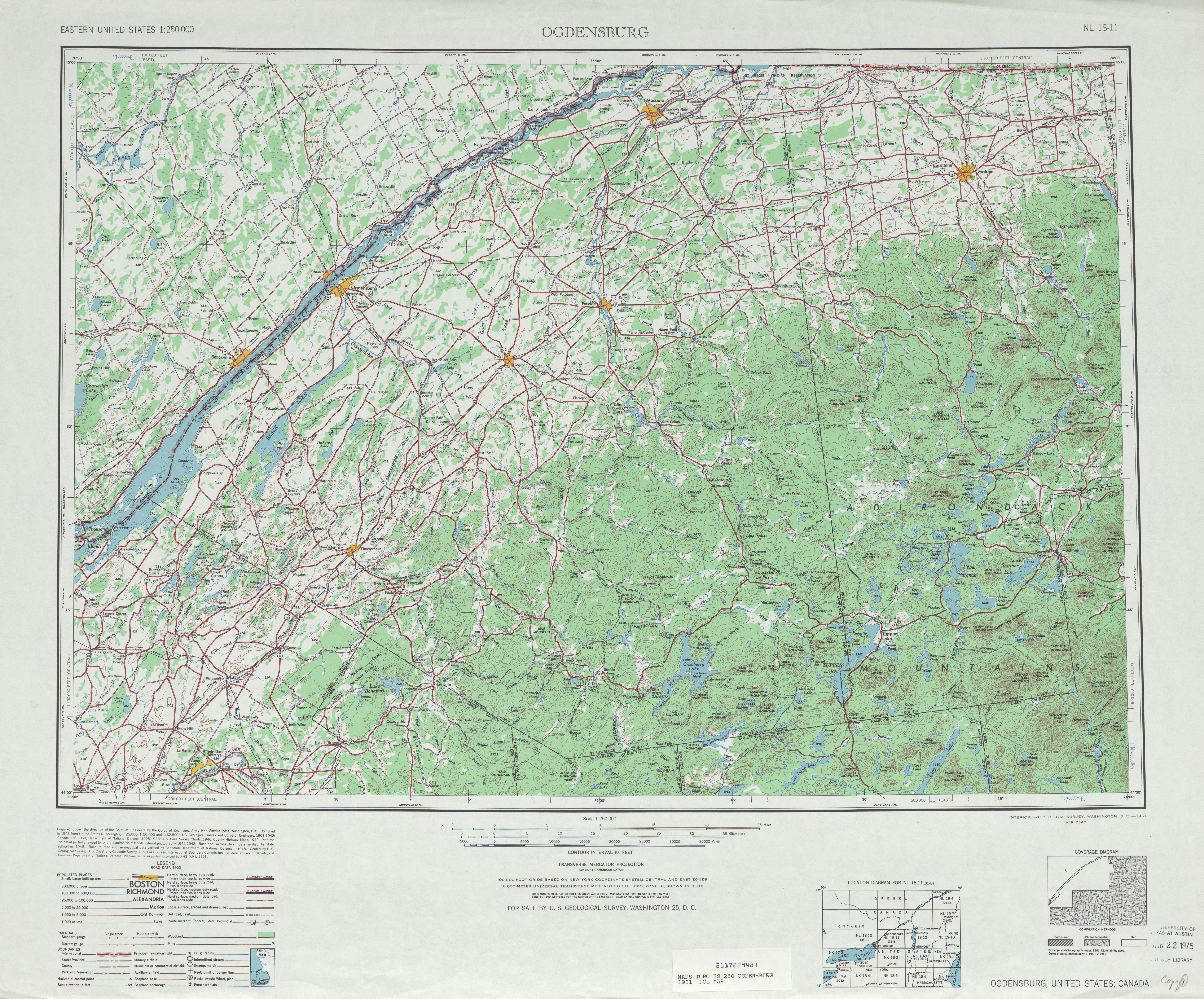
- ^ Ogdensburg, NY Quadrangle (Map). 1:250,000. Eastern United States 1:250,000. United States Geological Survey. 1951. Retrieved 2007-01-20.
- ^ Redwood Quadrangle - New York (Map). 1 : 24,000. 7.5 Minute Series (Topographic). United States Geological Survey. 1982. Retrieved 2008-01-20.