Bulls Bridge Power Station
| Bulls Bridge Power Station | |
|---|---|
 | |
 | |
| Country | England |
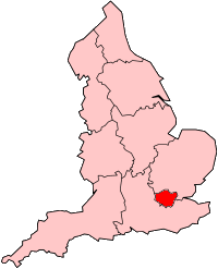
| Location | Greater London |
| Coordinates | 51°30′07″N 0°24′32″W / 51.502°N 0.409°W |
| Commission date | 1980 |
| Decommission date | 1993 |
| Operator(s) | Powergen |
| Thermal power station | |
| Primary fuel | Oil fired |
| Power generation | |
| Nameplate capacity |
|
| External links | |
| Commons | Related media on Commons |
grid reference TQ104793 | |
Bulls Bridge Power Station was an open-cycle gas-turbine power station at Bull's Bridge, Hayes in west London.

History
The station was built, owned and operated by the CEGB as a stand-alone open cycle GT station in the mid-1970s but was later mothballed. As a result of the UK miners' strike (1984–1985) the station was re-opened in the 1980s,[1] occupying a 25-acre (100,000 m2) site on either side of Yeading Brook, to the south of the Paddington main line and north of the Grand Union Canal, at its junction with the Paddington Arm. It had a generating capacity of 280 MW.[1][2] It was connected electrically to the North Hyde 66kV substation. On privatisation, the station was owned and run by Powergen, and ceased generating in 1993.[1] The site has since been redeveloped and the station demolished. The western parcel of land is occupied by a British Airways engineering centre.
References
- ^ a b c "Table 3.7 - Generation Disconnections since 1991". Seven Year Statement. National Grid. 2009.
- ^ "Electricity Generation". Hansard HC Deb 13 February 1978 vol 944 cc21-2.

