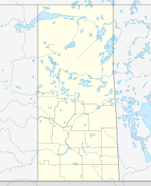
Lorado Mine
Appearance
| Location | |
|---|---|
| Location | Athabasca Basin |
| Province | Saskatchewan |
| Country | Canada |
| Coordinates | 59°29′N 108°39′W / 59.49°N 108.65°W |
| Production | |
| Products | Uranium |
| History | |
| Opened | 1954 (mine) 1957 (mill) |
| Closed | 1960 |
| Owner | |
| Company | Lorado Uranium Mines Limited (currently Encana Oil and Gas) |
| Year of acquisition | 1953 |
The Lorado Mine was a uranium mine in northern Saskatchewan, Canada located around 8 kilometres (5.0 mi) south of the community of Uranium City, Saskatchewan in the Beaverlodge Uranium District.
See also
[edit]References
[edit]External links
[edit]- "Saskatchewan Makes Recommendations on Former Uranium Mine Sites". Government of Saskatchewan. Archived from the original on 2011-06-11. Retrieved 2009-10-25.
- "MINING: Quick Facts". Canadian Parks and Wilderness Society - Saskatchewan Chapter. Archived from the original on 2010-04-29. Retrieved 2009-10-25.
- "Lorado". Cleanup of Abandoned Northern Sites (CLEANS). Retrieved 2009-10-25.

