Podvysoká

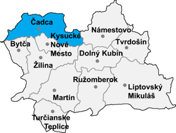
Podvysoká (Hungarian: Határújfalu) is a village and municipality in Čadca District in the Žilina Region of northern Slovakia.
History[edit]
In the village was built in 1658.
Geography[edit]
The municipality lies at an altitude of 460 metres and covers an area of 5.609 km2. It has a population of about 1210 people. The village lies near the border with Poland and the Czech Republic
External links[edit]
49°25′N 18°40′E / 49.417°N 18.667°E
