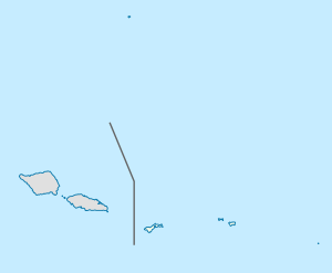
ʻAmanave, American Samoa
Appearance
'Amanave | |
|---|---|
Village | |
| Coordinates: 14°19′48″S 170°49′46″W / 14.33000°S 170.82944°W | |
| Country | |
| Territory | |
| Area | |
• Total | 0.342 sq mi (0.885 km2) |
| Population (2000) | |
• Total | 287 |
| • Density | 840/sq mi (320/km2) |
'Amanave is a village on the coast of Tutuila Island, American Samoa. It is located close to the island's western tip, Cape Taputapu, and to the south of the village of Poloa.

