Jump to content

Yalleroi

Coordinates: 24°04′05″S 145°45′33″E / 24.0680°S 145.7591°E / -24.0680; 145.7591 (Yalleroi (town centre))
From Wikipedia, the free encyclopedia

This is an old revision of this page, as edited by Kerry Raymond (talk | contribs) at 13:35, 28 January 2021 (→‎External links: updated external link). The present address (URL) is a permanent link to this revision, which may differ significantly from the current revision.

Yalleroi
Queensland
Yalleroi is located in Queensland
Yalleroi
Yalleroi
Coordinates24°04′05″S 145°45′33″E / 24.0680°S 145.7591°E / -24.0680; 145.7591 (Yalleroi (town centre))
Postcode(s)4472
Time zoneAEST (UTC+10:00)
LGA(s)Blackall-Tambo Region
State electorate(s)Gregory
Federal division(s)Flynn

Yalleroi is a rural town in the north of the locality of Blackall in the Blackall-Tambo Region, Queensland, Australia.[1]

History

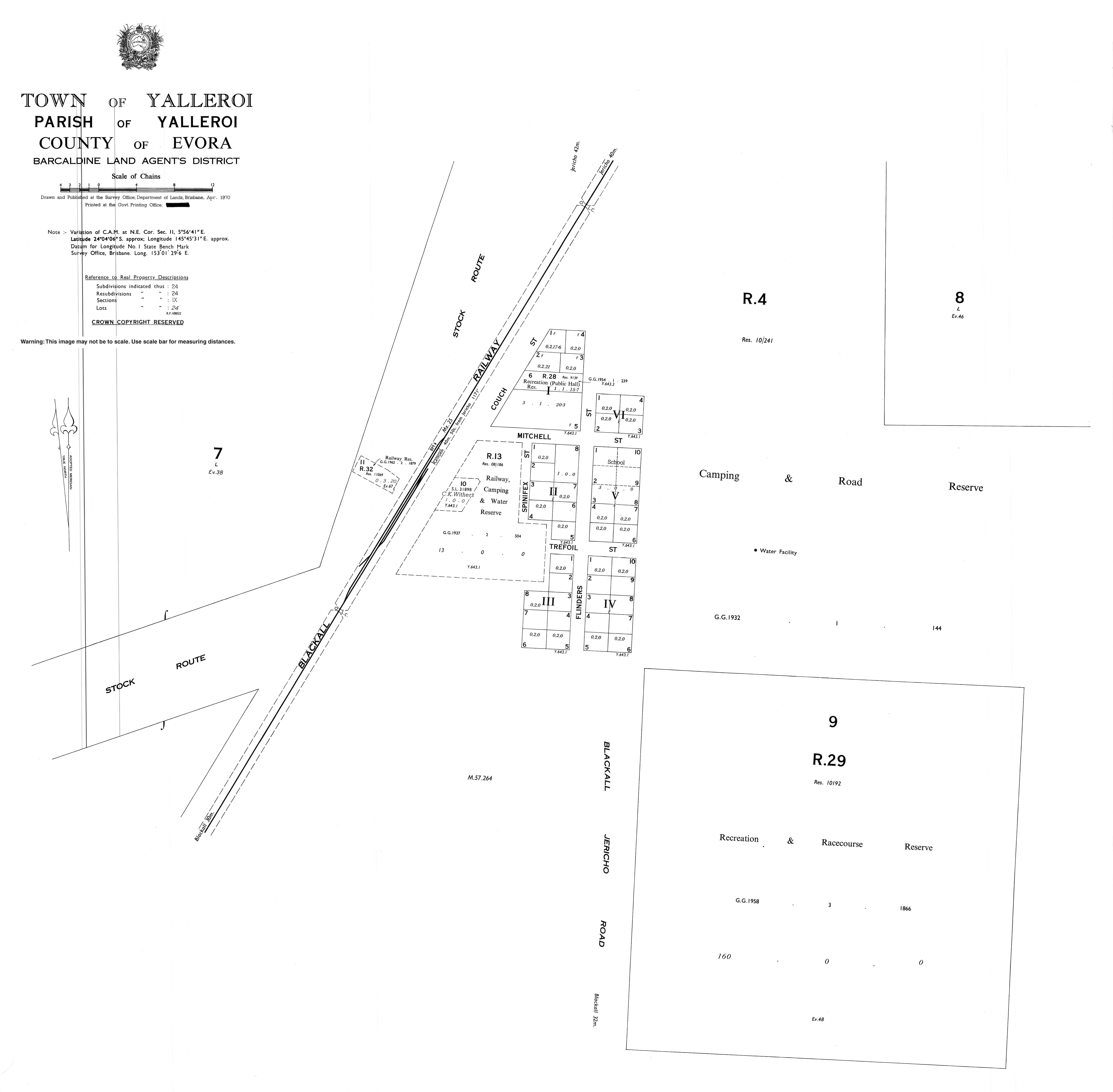
The locality name is derived from pastoral run name and is an Aboriginal word, meaning stone/stony. The town of Yalleroi appears on a 1913 survey plan.[1]

Yalleroi State School opened on 2 February 1933 and closed in 1983.[2]

References

  1. ^ a b "Yalleroi – town in Blackall-Tambo Region (entry 38369)". Queensland Place Names. Queensland Government. Retrieved 3 January 2018.
  2. ^ Queensland Family History Society (2010), Queensland schools past and present (Version 1.01 ed.), Queensland Family History Society, ISBN 978-1-921171-26-0

External links