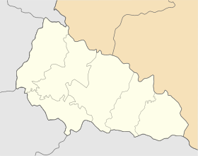
Fanchykovo
Appearance
Fanchykovo
Фанчиковo Fancsika (in Hungarian) | |
|---|---|
Village | |
| Coordinates: 48°07′00″N 22°57′00″E / 48.11667°N 22.95000°E | |
| Country | |
| Oblast | |
| Raion | Berehove Raion |
| Established | 1300 |
| Area | |
| • Total | 3,208 km2 (1,239 sq mi) |
| Elevation | 124 m (407 ft) |
| Population (2001) | |
| • Total | 2,059 |
| • Density | 0.64/km2 (1.7/sq mi) |
| Postal code | 90352 |
| Area code | +380 03143 |
Fanchykovo (Ukrainian: Фанчиковo; Template:Lang-hu) is a locality in Berehove Raion of the Zakarpattia Oblast in western Ukraine.
Fanchykovo is also known as Fanchykovo (Ukrainian), Fanchikovo (Russian), Fancsika (Hungarian), Fančikovo (Slovakian), Fanecsika, Fanchykove, and Fantschykowo.[1] It was formerly in Czechoslovakia.
References
External links


