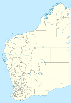
Mount Keith Station
Mount Keith Station is a pastoral lease in Western Australia.
It is located approximately 72 kilometres (45 mi) north of Leinster and 81 km (50 mi) south of Wiluna.
The station is named after nearby Mount Keith, which was named after Algernon Keith-Falconer, 9th Earl of Kintore by the explorer David Lindsay during the 1891 Elder expedition though the area.[1] Mining leases became available in the area in 1895 following an expansion in the Murchison goldfields.[2]
In 1928 the property occupied an area of 220,000 acres (89,031 ha) and was owned by a syndicate whose principal figure was H. E. Vail, who also owned the Wiluna gold mine.[3]
The 233,000-acre (94,292 ha) property stocked with 4,400 sheep was sold by Robert Oldham in 1950 to John Jones of Boogardie Station.[4]
See also
[edit]References
[edit]- ^ "The Elder Expedition". The West Australian. Perth, Western Australia. 23 February 1893. p. 2. Retrieved 5 December 2015 – via National Library of Australia.
- ^ "The extension of the Murchison fields". The Daily News. Perth, Western Australia. 26 April 1895. p. 3. Retrieved 5 December 2015 – via National Library of Australia.
- ^ "The Goldfields (WA) pastoral areas". The Australasian. Melbourne, Victoria. 16 June 1928. p. 51. Retrieved 5 December 2015 – via National Library of Australia.
- ^ "Pastoralist Sells Out". Sunday Times. Perth, Western Australia. 25 June 1950. p. 23. Retrieved 5 December 2015 – via National Library of Australia.

