Lokobe National Park
Appearance
| Lokobe National Park | |
|---|---|
 Nosy Be panther chameleon | |
 | |
| Location | Antsiranana Province, Madagascar |
| Coordinates | 13°23′57″S 48°19′6″E / 13.39917°S 48.31833°E |
| Area | 15.23 km² |
| Established | 1927 |
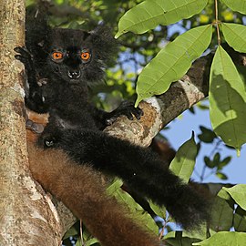
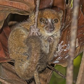
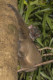
Lokobe National Park is a national park in northwestern Madagascar. It is located on southeastern side of Nosy Be, an island off the coast of Madagascar. It is known for its black lemurs and the beautiful Nosy Be panther chameleon.
-
male black lemur
-
female black lemur
References


