Mount Boyuk Kirs
Appearance
| Mount Kirs | |
|---|---|
 | |
| Highest point | |
| Elevation | 2,725 m (8,940 ft) |
| Coordinates | 39°38′51″N 46°44′45″E / 39.64750°N 46.74583°E |
| Naming | |
| Native name |
|
| Geography | |
| Country | |
Mount Kirs (Template:Lang-az; Template:Lang-hy) is the highest peak in the Karabakh Range of the Lesser Caucasus in Azerbaijan at an altitude of 2,725 metres. Before the 2020 Nagorno-Karabakh War, it was the highest mountain of the breakaway Republic of Arstakh.[1][2] It forms the border between the Khojavend and Shusha districts of Azerbaijan.
Gallery
-
Mount Kirs as seen from the Shusha District during winter.
-
Mount Kirs as seen from the city of Shusha
-
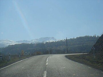
Mount Kirs as seen from a road
References


