Phước Hải, Nha Trang
Appearance
This article has multiple issues. Please help improve it or discuss these issues on the talk page. (Learn how and when to remove these messages)
|
Phước Hải | |
|---|---|
 Thích Quảng Đức Street, Phước Hải Ward | |
 | |
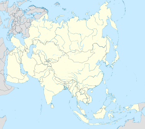
| Coordinates: 12°14′18″N 109°10′42″E / 12.23833°N 109.17833°E | |
| Country | |
| Province | Khánh Hòa |
| City | Nha Trang |
| Region | Central Vietnam |
| Area | |
• Total | 99 sq mi (256 km2) |
| Population (2021) | |
• Total | 21.468 |
| • Density | 21.72/sq mi (8.385/km2) |
| Time zone | UTC+07:00 (Indochina Time) |
Phước Hải is a Ward in Nha Trang, Khánh Hòa Province, Vietnam.
Geography
Phước Hải has a metropolitan area of 2.56 km2 (0.99 sq mi), a population of about 21,468,[1][2] and a population density/km2 of about 8,385.
References
- ^ "Phước Hải: Báo cáo dân số tính đến thời điểm 30/6/2021". UBND Phường Phước Hải. 8 July 2021. Retrieved 17 November 2022.
- ^ "Mã số đơn vị hành chính Việt Nam". Bộ Thông tin & Truyền thông. Archived from the original on March 24, 2013. Retrieved April 10, 2012.
This article needs additional or more specific categories. (November 2023) |


