Mount Kemul
Appearance
| Mount Kemul | |
|---|---|
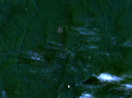
 Satellite view of Mount Kemul, indicated by crosshair, and surrounding regions. | |
| Highest point | |
| Elevation | 1,847 m (6,060 ft) |
| Coordinates | 1°51′37″N 116°10′35″E / 1.86028°N 116.17639°E |
| Geography | |
 | |
| Location | East Kalimantan, Borneo |
Mount Kemul (also Kemoel, Kemal, Kongkemul, Kong Kemul) (Template:Lang-id) is a mountain in East Kalimantan. It is the type locality of the pitcher plant species Nepenthes fusca and Nepenthes mollis.[1]
References
- ^ Phillipps, A. & A. Lamb 1996. Pitcher-Plants of Borneo. Natural History Publications (Borneo), Kota Kinabalu.
