Gilbert Street, Adelaide
Appearance
Gilbert Street | |
|---|---|
 | |
| The end of Gilbert Street (the direction of the traffic), looking westward from King William Street | |
 | |
| Coordinates |
|
| General information | |
| Type | Street |
| Location | Adelaide |
| Length | 1.1 km (0.7 mi) |
| Opened | 1837 |
| Major junctions | |
| Eastern end | King William Street |
| Morphett Street | |
| Western end | West Terrace |
| Location(s) | |
| LGA(s) | City of Adelaide |
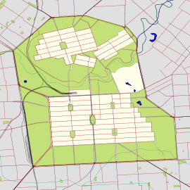
Gilbert Street is a main street in the CBD of the centre of Adelaide, South Australia.[1][2] The street was named after Thomas Gilbert, a pioneer settler who held the (then) important administrative position of Colonial Storekeeper, responsible for all Government stores.
See also
References
- ^ 2003 Adelaide Street Directory, 41st Edition. UBD (A Division of Universal Press Pty Ltd). 2003. ISBN 0-7319-1441-4.
- ^ Map of the Adelaide CBD, North Adelaide and the Adelaide Parklands.

