Háje (Prague Metro)
Appearance
Háje | |||||||||||
|---|---|---|---|---|---|---|---|---|---|---|---|
| Prague Metro station | |||||||||||
 Platform | |||||||||||
| General information | |||||||||||
| Location | Háje Prague 11 Prague Czech Republic | ||||||||||
| Coordinates | 50°01′52″N 14°31′37″E / 50.031°N 14.527°E | ||||||||||
| Owned by | Dopravní podnik hl. m. Prahy | ||||||||||
| Line(s) | C | ||||||||||
| Platforms | island platform | ||||||||||
| Tracks | 2 | ||||||||||
| Construction | |||||||||||
| Platform levels | 1 | ||||||||||
| Bicycle facilities | No | ||||||||||
| History | |||||||||||
| Opened | 7 November 1980 | ||||||||||
| Services | |||||||||||
| |||||||||||
| |||||||||||
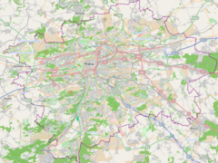
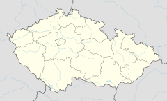
Háje (Czech pronunciation: [ˈhaːjɛ]) is a Prague Metro station and the terminus of Line C. It is named after a local neighborhood, whose name in English literally means groves. Háje station, along with the two stations preceding it, serve Jižní Město, the largest housing estate in the Czech Republic.
The station was opened on 7 November 1980 as the southern terminus of the extension from Kačerov[1] and was formerly known as Kosmonautů (meaning [station of] the astronauts) until 1990.
References


