
Daşoguz Region
41°0′N 58°30′E / 41.000°N 58.500°E
Daşoguz | |
|---|---|
 Daşoguz region in Turkmenistan | |
| Country | Turkmenistan |
| Capital | Daşoguz |
| Area | |
| • Total | 73,430 km2 (28,350 sq mi) |
| Population (2005) | |
| • Total | 1,370,400 |
| • Density | 19/km2 (48/sq mi) |
Daşoguz Region (Turkmen: Daşoguz welaýaty, formerly Daşhowuz) is one of the regions of Turkmenistan. It is in the north of the country, bordering Uzbekistan. The area of the province is 73,430 square kilometers, and the total population is 1,370,400 (2005 est.).[1] The capital is Daşoguz (Дашогуз).
The region is mostly desert, and is experiencing severe environmental degradation as a result of the Aral Sea ecological catastrophe. Increased soil salinity has ruined thousands of square kilometers of farmland.
The region contains the UNESCO World Heritage Site of Köneürgenç.
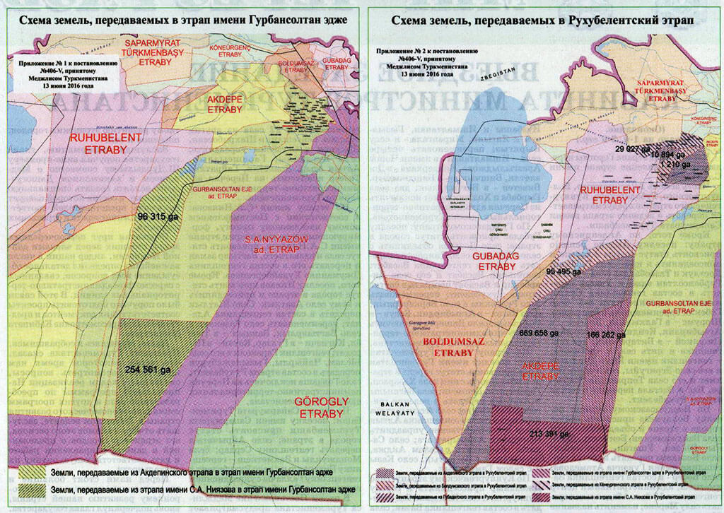
Districts
As of January 1, 2017, Dashoguz Province (Daşoguz welaýaty) is subdivided into 9 districts (etrap, plural etraplar):[2][3][4]
- Akdepe
- Boldumsaz
- Görogly (previously Tahta)
- Gubadag
- Gurbansoltan Eje
- Köneurgenç
- Ruhubelent
- S.A. Nyýazow
- Saparmyrat Türkmenbaşy
As of January 1, 2017, the province includes 9 cities (города or şäherler), 1 town (посёлок or şäherçe), 134 rural or village councils (сельские советы or geňeşlikler), and 612 villages (села, сельские населенные пункты or obalar).[2][3]
- Cities include:
- Akdepe
- Boldumsaz
- Dashoguz
- Görogly
- Gubadag
- Gurbansoltan Eje
- Köneurgenç
- S.A. Nyýazow
- Saparmyrat Nyýazow
See also
References
- ^ Statistical Yearbook of Turkmenistan 2000-2004, National Institute of State Statistics and Information of Turkmenistan, Ashgabat, 2005.
- ^ a b Türkmenistanyň Mejlisi (2010–2018). "Türkmenistanyň dolandyryş-çäk birlikleriniň Sanawy". Türkmenistanyş Mejlisiniň Karary. Ashgabat.
{{cite book}}: CS1 maint: date format (link) CS1 maint: location missing publisher (link) This document is reproduced online at https://wiki.openstreetmap.org/wiki/Districts_in_Turkmenistan. - ^ a b "Административно-территориальное деление Туркменистана по регионам по состоянию на 1 января 2017 года". Archived from the original on 2018-07-08. Retrieved 2018-07-08.
- ^ "Изменения в административно-территориальном делении Дашогузского велаята (Changes in the Administrative-Territorial Division of Dashoguz Province)". 17 June 2016.
Places adjacent to Daşoguz Region | ||||||||||||||||
|---|---|---|---|---|---|---|---|---|---|---|---|---|---|---|---|---|
| ||||||||||||||||
Region (capital) | |
|
This Turkmenistan location article is a stub. You can help Wikipedia by expanding it. |