Neal, Kansas
Appearance
Neal, Kansas | |
|---|---|
 Post Office in Neal, 2012 | |
| Coordinates: 37°50′3″N 96°4′49″W / 37.83417°N 96.08028°W | |
| Country | United States |
| State | Kansas |
| County | Greenwood |
| Time zone | UTC-6 (Central (CST)) |
| • Summer (DST) | UTC-5 (CDT) |
| ZIP codes | 66863 |

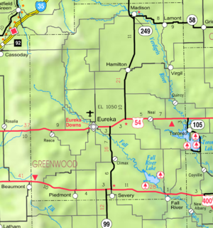
Neal is an unincorporated community in eastern Greenwood County, Kansas, United States. It lies along U.S. Route 54 east of the city of Eureka, the county seat of Greenwood County.[1] Its elevation is 961 feet (293 m), and it is located at 37°50′3″N 96°4′49″W / 37.83417°N 96.08028°W (37.8341990, -96.0802724).[2] Although Neal is unincorporated, it has a post office, with the ZIP code of 66863.[3] The first post office in Neal was established in 1882.[4]
Neal was named for a minor official of the Missouri Pacific Railroad.[5]
References
- ^ Rand McNally. The Road Atlas '08. Chicago: Rand McNally, 2008, p. 41.
- ^ Geographic Names Information System Feature Detail Report, Geographic Names Information System, 1978-10-13. Accessed 2008-04-28.
- ^ Zip Code Lookup
- ^ "Kansas Post Offices, 1828-1961 (archive)". Kansas Historical Society. Archived from the original on October 9, 2013. Retrieved 10 June 2014.
- ^ Kansas Place-Names, John Rydjord, University of Oklahoma Press, 1972, p. 460 ISBN 0-8061-0994-7


