
Zeiskam
This article needs additional citations for verification. (December 2007) |
Zeiskam | |
|---|---|
 Protestant church and city hall | |
 Flag  Coat of arms | |
Location of Zeiskam within Germersheim district 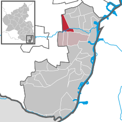 | |
 Zeiskam  Zeiskam | |
| Coordinates: 49°13′58″N 08°14′49″E / 49.23278°N 8.24694°E | |
| Country | Germany |
| State | Rhineland-Palatinate |
| District | Germersheim |
| Municipal assoc. | Bellheim |
| Government | |
| • Mayor | Susanne Lechner (Free Voters) |
| Area | |
| • Total | 8.85 km2 (3.42 sq mi) |
| Elevation | 117 m (384 ft) |
| Population (2022-12-31)[1] | |
| • Total | 2,172 |
| • Density | 250/km2 (640/sq mi) |
| Time zone | UTC+01:00 (CET) |
| • Summer (DST) | UTC+02:00 (CEST) |
| Postal codes | 67378 |
| Dialling codes | 06347 |
| Vehicle registration | GER |
| Website | www.zeiskam.de |
Zeiskam is a municipality in the district of Germersheim, in Rhineland-Palatinate, Germany.

References
- ^ "Bevölkerungsstand 2022, Kreise, Gemeinden, Verbandsgemeinden" (PDF) (in German). Statistisches Landesamt Rheinland-Pfalz. 2023.
| International | |
|---|---|
| National | |
This Germersheim district location article is a stub. You can help Wikipedia by expanding it. |