
Marmor, Queensland
| Marmor Queensland | |||||||||||||||
|---|---|---|---|---|---|---|---|---|---|---|---|---|---|---|---|
 Marmor | |||||||||||||||
| Coordinates | 23°41′S 150°43′E / 23.683°S 150.717°E | ||||||||||||||
| Population | 205 (2011 census)[1] | ||||||||||||||
| Postcode(s) | 4702 | ||||||||||||||
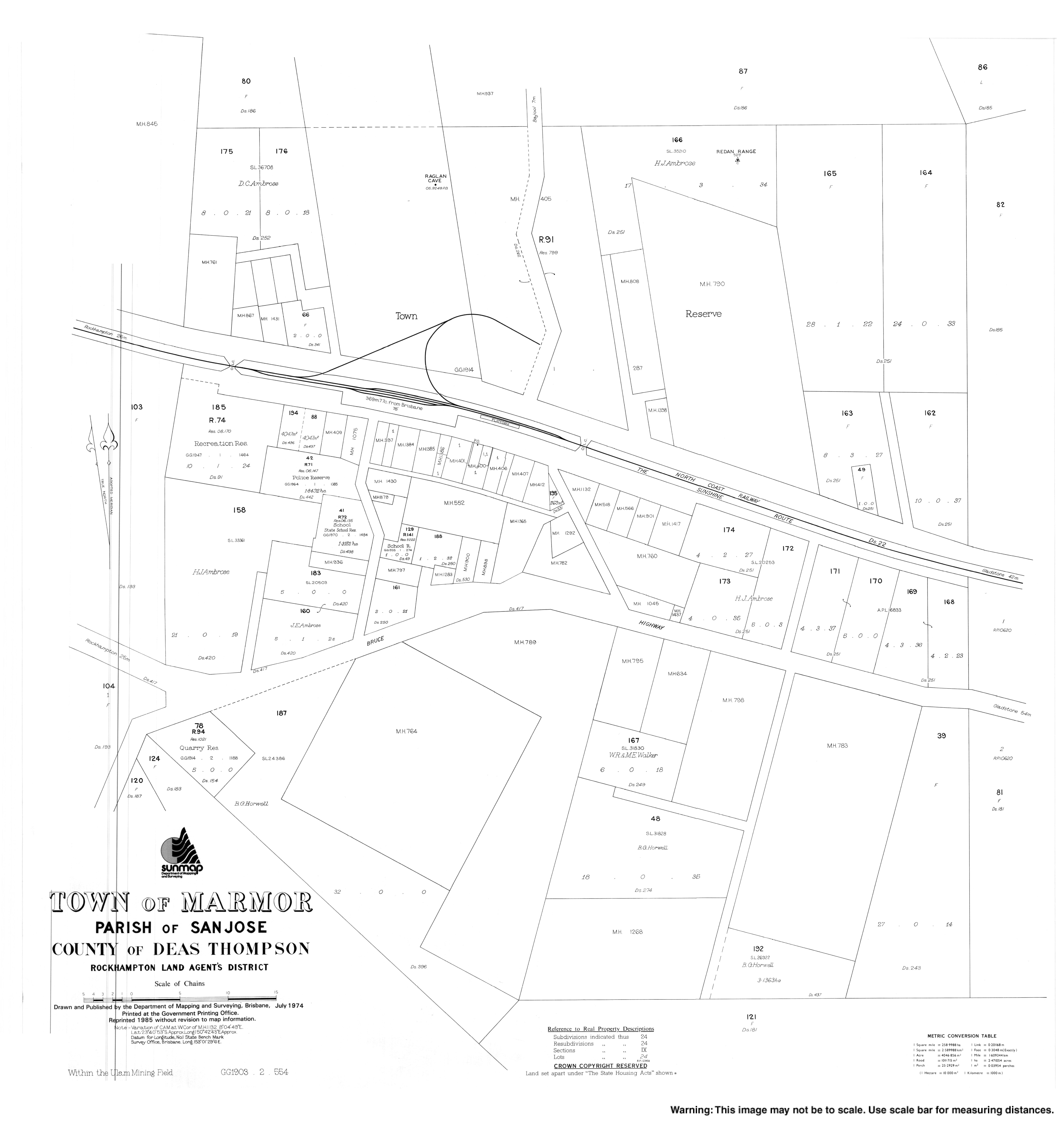
| Location | 45 km (28 mi) south of Rockhampton | ||||||||||||||
| LGA(s) | Rockhampton Region | ||||||||||||||
| State electorate(s) | Mirani | ||||||||||||||
| Federal division(s) | Flynn | ||||||||||||||
| |||||||||||||||
Marmor is a township and a locality in Rockhampton Region, Queensland, Australia.[2][3] It is approximately 45 kilometres (28 mi) south of the city of Rockhampton located on the Bruce Highway.[4]
History
The town/locality takes its name from the railway station, which was called Marmor being the Latin word for marble, which is found in the district.[5]
The Marmor Provisional School opened on 6 November 1906. It became a State School on 1 January 1909.[6][7] It is located on Rogers Road (23°40′47″S 150°42′27″E / 23.67968°S 150.70763°E).[8]
Marmor Post Office opened by October 1906 (a receiving office in the area had been open from 1883, earlier known as San Jose, then Toonda) and closed in 1982.[9]
At the 2011 census, Marmor had a population of 205 people.[1]
Economy

The Marmor Limestone Mine has its own limestone kiln and processing plant. In the early 1900s, the mine's purpose was to supply lime to Mount Morgan, which was transported on the North Coast railway line. However, now the lime is mainly used in agricultural application, such as correcting soil acidification.[10]
Community groups
The Marmor branch of the Queensland Country Women's Association meets at 46 Westacott Street.[11]
References
- ^ a b Australian Bureau of Statistics (31 October 2012). "Marmor (SSC)". 2011 Census QuickStats. Retrieved 20 April 2014.
- ^ "Marmor – town in Rockhampton Region (entry 21037)". Queensland Place Names. Queensland Government. Retrieved 28 September 2017.
- ^ "Marmor – locality in Rockhampton Region (entry 48748)". Queensland Place Names. Queensland Government. Retrieved 28 September 2017.
- ^ "Marmor". Rural, Historic, Abandoned and Desolate Places, Travels in Spain and Other Things. Archived from the original on 25 September 2009. Retrieved 23 March 2009.
- ^ "Marmor – railway station in Rockhampton Region (entry 39194)". Queensland Place Names. Queensland Government. Retrieved 28 September 2017.
- ^ "Opening and closing dates of Queensland Schools". Queensland Government. Retrieved 20 April 2014.
- ^ "Agency ID 5457, Marmor State School". Queensland State Archives. Retrieved 20 April 2014.
- ^ "Our School". Marmor State School. Archived from the original on 21 April 2014. Retrieved 20 April 2014.
- ^ Premier Postal History. "Post Office List". Premier Postal Auctions. Archived from the original on 15 May 2014. Retrieved 10 May 2014.
- ^ "Marmor". Archived from the original on 21 April 2014. Retrieved 20 April 2014.
- ^ "Branch Locations". Queensland Country Women's Association. Archived from the original on 26 December 2018. Retrieved 26 December 2018.
External links