
Rockingham, Queensland
| Rockingham Queensland | |||||||||||||||
|---|---|---|---|---|---|---|---|---|---|---|---|---|---|---|---|
 Rockingham | |||||||||||||||
| Coordinates | 18°00′37″S 145°59′25″E / 18.0102°S 145.9902°E | ||||||||||||||
| Population | 107 (2016 census)[1] | ||||||||||||||
| • Density | 0.843/km2 (2.182/sq mi) | ||||||||||||||
| Postcode(s) | 4854 | ||||||||||||||
| Area | 127.0 km2 (49.0 sq mi) | ||||||||||||||
| LGA(s) | Cassowary Coast Region | ||||||||||||||
| State electorate(s) | Hinchinbrook | ||||||||||||||
| Federal division(s) | Kennedy | ||||||||||||||
| |||||||||||||||
Rockingham is a town and a coastal locality in the Cassowary Coast Region, Queensland, Australia.[2][3] In the 2016 census, Rockingham had a population of 107 people.[1]
History
The bay takes its name from Rockingham Bay, which in turn was named on 8 June 1770 by Lieutenant James Cook of HMS Endeavour, after Charles Watson-Wentworth, 2nd Marquess of Rockingham and a former British Prime Minister.[2]
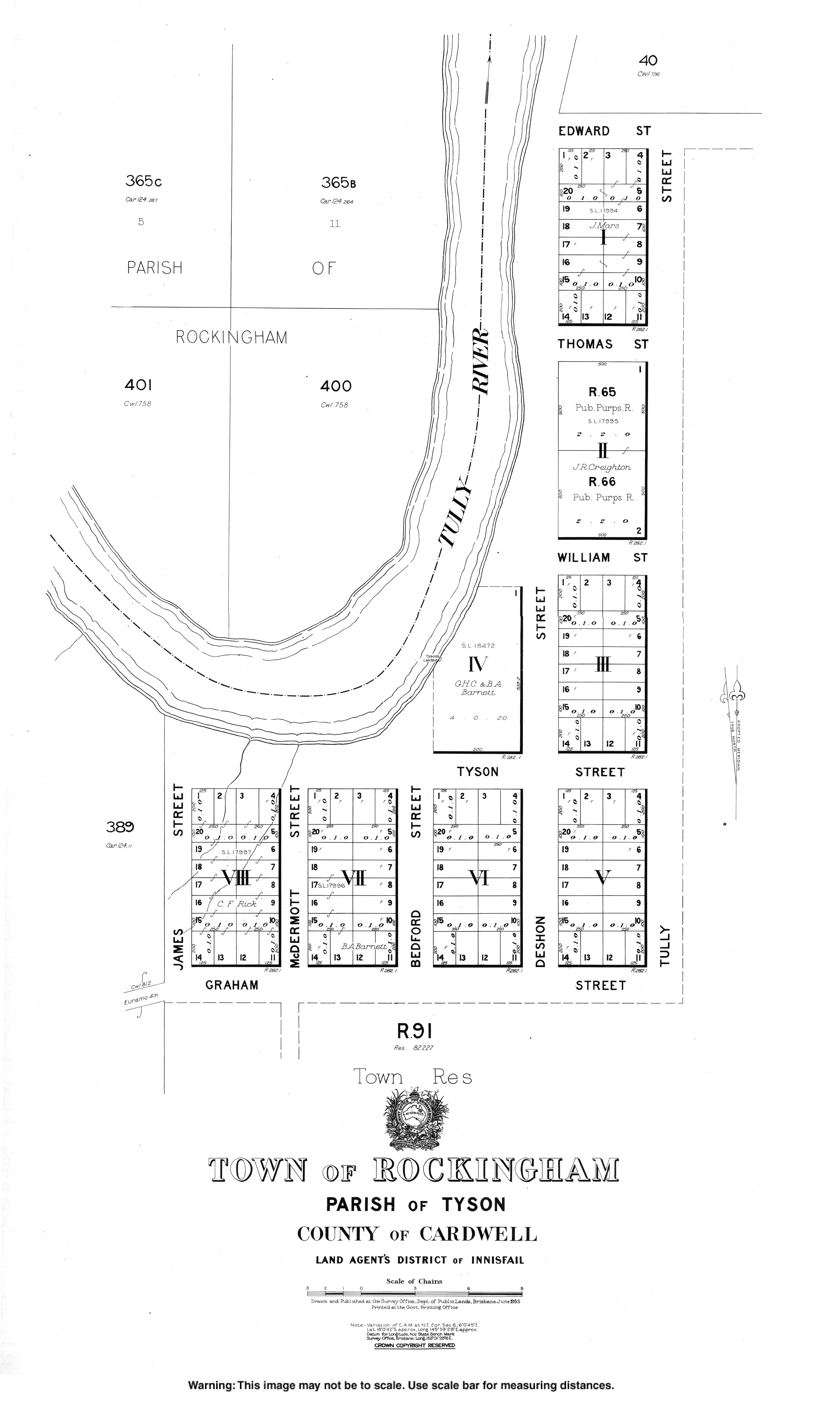
The town was surveyed in 1883 by surveyor Cecil Twisden Bedford.[2]
References
- ^ a b Australian Bureau of Statistics (27 June 2017). "Rockingham (SSC)". 2016 Census QuickStats. Retrieved 20 October 2018.
- ^ a b c "Rockingham – town in Cassowary Coast Region (entry 28646)". Queensland Place Names. Queensland Government. Retrieved 24 May 2019.
- ^ "Rockingham – locality in Cassowary Coast Region (entry 45774)". Queensland Place Names. Queensland Government. Retrieved 24 May 2019.