River Ise
This article needs additional citations for verification. (December 2009) |
| Ise | |
|---|---|
 The River Ise at Burton Latimer, Northamptonshire. | |
| Location | |
| Country | England |
| County | Northamptonshire |
| Physical characteristics | |
| Source | |
| • location | Naseby Battlefield |
| • coordinates | 52°24′32″N 0°59′33″W / 52.408895°N 0.992409°W |
| • elevation | 167 m (548 ft) |
| Mouth | River Nene |
• location | Wellingborough |
• coordinates | 52°17′42″N 0°39′59″W / 52.29500°N 0.66639°W |
• elevation | 40 m (130 ft) |
The River Ise is a river in Northamptonshire, England which is a tributary of the River Nene.
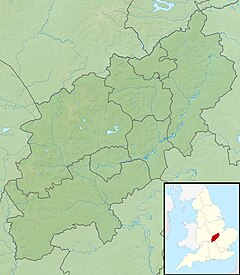
The river rises in a field that was part of the site of the Battle of Naseby in north-western Northamptonshire. The parish of Naseby lies across a watershed from which streams also flow to the rivers Avon and Nene. Flowing east past Desborough and the Eleanor cross at Geddington, through the grounds of Rushton Hall,[1] it then turns south and passes Kettering, through Wicksteed Park, past Barton Seagrave, Burton Latimer and Finedon before joining the Nene just south of Wellingborough.
Fishing on The Ise
The Ise contains many varieties of coarse and game fish, including roach, perch, barbel and chub. It is also the only watercourse within Northamptonshire to contain grayling (thymallus thymallus).
References
Further reading
Budworth, John (1999). Bridging the Ise. Kettering. ISBN 0-9537431-0-1.{{cite book}}: CS1 maint: location missing publisher (link)

