Great Nevka
Appearance
| Bolshaya Nevka | |
|---|---|
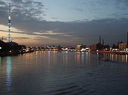
 View from the Grenadiers Bridge in September 2006 | |
 | |
| Etymology | diminutive of Neva |
| Native name | Большая Невка Error {{native name checker}}: parameter value is malformed (help) |
| Location | |
| Country | Russia |
| Location | Saint Petersburg |
| Physical characteristics | |
| Source | |
| • location | Neva |
| • coordinates | 59°57′17.1″N 30°20′25.2″E / 59.954750°N 30.340333°E |
| Mouth | |
• location | Neva Bay |
• coordinates | 59°58′45.3″N 30°13′32.8″E / 59.979250°N 30.225778°E |
| Length | 8.5 km (5.3 mi) |
| Basin features | |
| Tributaries | |
| • right | Chyornaya Rechka |

The Great Nevka or Bolshaya Nevka (Russian: Больша́я Не́вка) is an arm of the Neva that begins about 1 kilometre (0.6 mi) below the Liteyny Bridge in Saint Petersburg.[1]
Attractions
- Bridges
- Saint Petersburg TV Tower
- Russian cruiser Aurora
- Lopukhinsky Garden
- Kamenny Island Palace
- Maritime Victory Park
- Saint Petersburg Botanical Garden
- Monument to Alfred Nobel
See also
References
Wikimedia Commons has media related to Bolshaya Nevka.

