Kholat Syakhl
Appearance
| Kholat Syakhl | |
|---|---|
Location relative to European Russia | |
| Highest point | |
| Elevation | 1,096.7 m (3,598 ft) |
| Naming | |
| Native name | Холатчахль Error {{native name checker}}: parameter value is malformed (help) |
| English translation | Mountain of Death |
| Geography | |
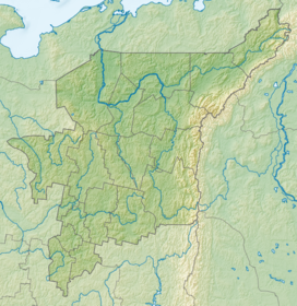
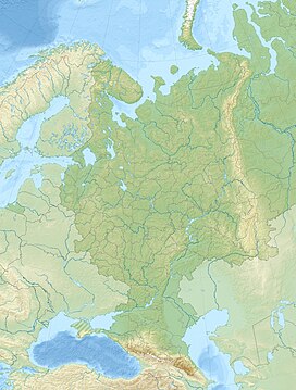
| Location | Komi Republic and Sverdlovsk Oblast, Russia |
| Parent range | Ural Mountains |
Kholat Syakhl, a transliteration in Russian of Holatchahl, meaning "Dead Mountain" in Mansi[1] (lit. Мёртвая вершина Myórtvaya vershína in Russian[citation needed]) is a mountain in the northern Ural region of Russia.
The name of this mountain pass simply means "lack of game"[citation needed] for Mansi hunters. The Mansi word kholat (meaning "dead" or "meager") is a relatively common name on their territory and is part of at least 3 other topographic objects.
On February 2, 1959, a group of ski hikers led by Igor Dyatlov mysteriously perished on the east shoulder of the mountain.
References
- ^ Eichar, Donnie Dead Mountain: The True Story of the Dyatlov Pass Incident (Chronicle Books, October 22, 2013, ISBN 1-452-11274-6), p. 19.
61°45′18″N 59°25′21″E / 61.75500°N 59.42250°E


