Náměstí Republiky (Prague Metro)
Náměstí Republiky | |||||||||||
|---|---|---|---|---|---|---|---|---|---|---|---|
| Prague Metro | |||||||||||
 Line B platform | |||||||||||
| General information | |||||||||||
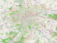
| Location | New Town Prague 1 Prague Czech Republic | ||||||||||
| Coordinates | 50°05′18″N 14°25′54″E / 50.0883°N 14.4318°E | ||||||||||
| Owned by | Dopravní podnik hl. m. Prahy | ||||||||||
| Line(s) | B | ||||||||||
| Platforms | 1 island platform | ||||||||||
| Tracks | 2 | ||||||||||
| Construction | |||||||||||
| Platform levels | 1 | ||||||||||
| Parking | No | ||||||||||
| Bicycle facilities | No | ||||||||||
| History | |||||||||||
| Opened | 2 November 1985 | ||||||||||
| Services | |||||||||||
| |||||||||||
| |||||||||||
Náměstí Republiky (Czech pronunciation: [ˈnaːmɲɛsciː ˈrɛpublɪkɪ]) is a Prague Metro station on Line B in the Prague 1 district. Its two exits serve the Republic Square (Náměstí Republiky) area and the Masaryk suburban railway terminal (Praha Masarykovo nádraží) respectively. The station was opened on 2 November 1985, as part of the inaugural section of Line B between Sokolovská and Smíchovské nádraží.[1]


