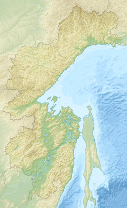
Yeyriney Gulf
Appearance
| Yeyriney Gulf | |
|---|---|
Location in Khabarovsk Krai | |
| Location | Russian Far East |
| Coordinates | 59°22′N 145°53′E / 59.367°N 145.883°E |
| Ocean/sea sources | Sea of Okhotsk |
| Basin countries | Russia |
| Max. width | 6.43 km (4.00 mi) |
Yeyriney Gulf (Russian: Guba Yeyrineyskaya) is a small bay in Khabarovsk Krai, Russian Federation.[1]
Geography
Yeyriney Gulf is located on the northern coast of the Sea of Okhotsk. It lies to the west of the mountainous Lisyansky Peninsula and is entered between Cape Shil'kan to the west and Cape Yeyrineysky to the east. The gulf is 6.43 km (about 4 mi) wide and about 24 m (79 ft) deep at its halfway point. Its head is divided into two recesses by Cape Kekurnyy.[2]
History
American whaleships sent whaleboats into the gulf to chase bowhead whales in the 1840s.[3]
References
- ^ "Guba Yeyrineyskaya". Mapcarta. Retrieved 12 February 2018.
- ^ National Geospatial-Intelligence Agency. (2014). Sailing Directions (Enroute): East Coast of Russia. U.S. Government, Springfield, Virginia.
- ^ India, of New Bedford, July 19-20, 1849, Old Dartmouth Historical Society.

