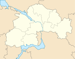
Dniprovske
Appearance
Dniprovske
Дніпровське | |
|---|---|
Urban-type settlement | |
| Coordinates: 48°35′38″N 34°25′17″E / 48.59389°N 34.42139°E | |
| Country | Ukraine |
| Oblast | Dnipropetrovsk Oblast |
| Raion | Verkhnodniprovsk Raion |
| Population (2019) | |
| • Total | 5,554[1] |
| Time zone | UTC+2 (EET) |
| • Summer (DST) | UTC+3 (EEST) |
Dniprovske (Ukrainian: Дніпровське; ‹See Tfd›Russian: Днепровское) is an urban-type settlement in Verkhnodniprovsk Raion of Dnipropetrovsk Oblast in Ukraine. Dniprovske is located on the right bank of the Dnieper (the Kamianske Reservoir), between Kamianske and Verkhnodniprovsk. Population: Template:Ua-pop-est2019
Economy
Transportation
The closest railway station, Verkhnodniprovsk, is located in Novomykolaivka. It is on the railway connecting Kamianske and Kryvyi Rih.
Dniprovske has access to Highway H08 which connects Kamianske and Kremenchuk.

