
Lower Circular Road cemetery
| Lower Circular Road Cemetery | |
|---|---|
 | |
| Details | |
| Established | 1840 |
| Location | |
| Country | India |
| Coordinates | 22°32′52″N 88°21′49″E / 22.547837°N 88.363659°E |
| Type | Public |
| Owned by | Christian Burial Board, Kolkata |
| Size | 33 acres (13 ha)[1] |
| No. of graves | c. 12,000 |
| Find a Grave | Lower Circular Road Cemetery |
Lower Circular Road Cemetery, also known as General Episcopal Cemetery, is located on the crossing of Mother Teresa Sarani (former Park Street) and Acharya Jagadish Chandra Bose Road (former Lower Circular Road), Kolkata, India, with its entrance on Acharya Jagadish Chandra Bose Road.[2]
History
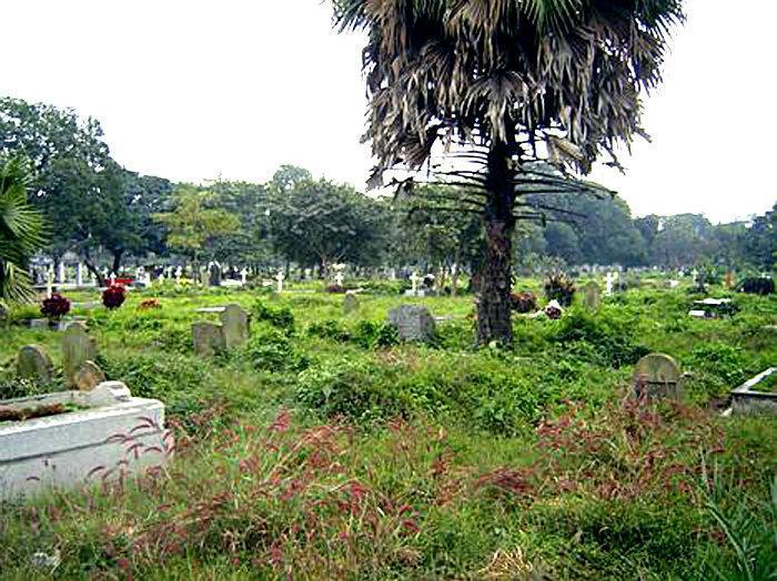
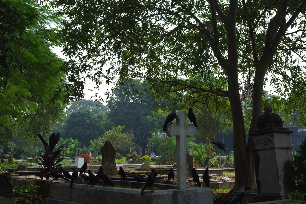
Lower Circular Road Cemetery was established on 1840 and is still operating as a functional cemetery. It contains approximately 12,000 graves including many former British East India Company employees.[3][4] There are two Second World War Commonwealth war graves, of an officer of the British Indian Army and a purser of the BOAC.[5]
Notable graves
- Charles Freer Andrews (died 1940)
- Sir William Casement, British Army Major General, Member of the Supreme Council of India, died 16 April 1844[6]
- Leslie Claudius (died 2012)
- Henri Hover Locke[2]
- Michael Madhusudan Dutt (died 1873)
- Jules Henri Jean Schaumburg[2]
- Henry Whitelock Torrens (died 1852)
- John Elliot Drinkwater Bethune (died 1851)
- David Drummond
- Neil O'Brien (died 2016)[7]
- William Hay Macnaghten
References
- ^ John Sarkar. "Burial grounds at city centres may become envy of land sharks". The Economic Times. The Times of India.
- ^ a b c "Cemetery Details". indian-cemeteries.org. Archived from the original on 15 August 2015. Retrieved 27 February 2015.
- ^ "Christian Burial Board". christianburialboardkolkata.com.
- ^ "A click of mouse to throw light on burial records". The Times of India.
- ^ "Cemetery Details | CWGC". www.cwgc.org. Retrieved 17 September 2020.
- ^ "Sir William Casement (1778 - 1844) - Find A Grave Memorial". findagrave.com.
- ^ "Neil O'Brien, India's first quizmaster, dies". The Hindu.
External links
Photos:
This cemetery-related article is a stub. You can help Wikipedia by expanding it. |
This article about a location in the Kolkata district of West Bengal is a stub. You can help Wikipedia by expanding it. |