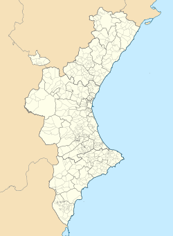
Higueras
Higueras | |
|---|---|
 | |
| Coordinates: 39°59′03.47″N 0°30′06.27″W / 39.9842972°N 0.5017417°W | |
| Country | |
| Community | |
| Province | |
| Comarca | Alto Palancia |
| Government | |
| • Mayor | Francisco Gimeno Torregrosa[1] |
| Area | |
| • Total | 11.80 km2 (4.56 sq mi) |
| Elevation | 671 m (2,201 ft) |
| Population (2018)[2] | |
| • Total | 62 |
| • Density | 5.3/km2 (14/sq mi) |
| Demonym | Higuereño/a |
| Postal code | 12449 |
| Website | Official website |
Higueras is a Spanish municipality in the comarca of Alto Palancia, in the Province of Castellón, Valencian Community. In 2015, the population was 91.
History
The village was first mentioned in the 13th century as Torre de la Higuera.
Geography
The municipality, part of the judicial district of Segorbe, borders with Caudiel, Montán, Pavías and Torralba del Pinar.[3] The town has an elevation of 2,201 feet (671 m).
Demographics

References
- ^ (in Spanish) List of mayors of Higueras (municipal website)
- ^ Municipal Register of Spain 2018. National Statistics Institute.
- ^ 346297 Higueras on OpenStreetMap
External links
![]() Media related to Higueras at Wikimedia Commons
Media related to Higueras at Wikimedia Commons
- (in Spanish) Higueras official website


