
Emmet, Queensland
| Emmet Queensland | |
|---|---|
 Emmet | |
| Coordinates | 24°40′17″S 144°28′35″E / 24.6713°S 144.4763°E |
| Postcode(s) | 4730 |
| Time zone | AEST (UTC+10:00) |
| LGA(s) | Longreach Region |
| State electorate(s) | Gregory |
| Federal division(s) | Maranoa |
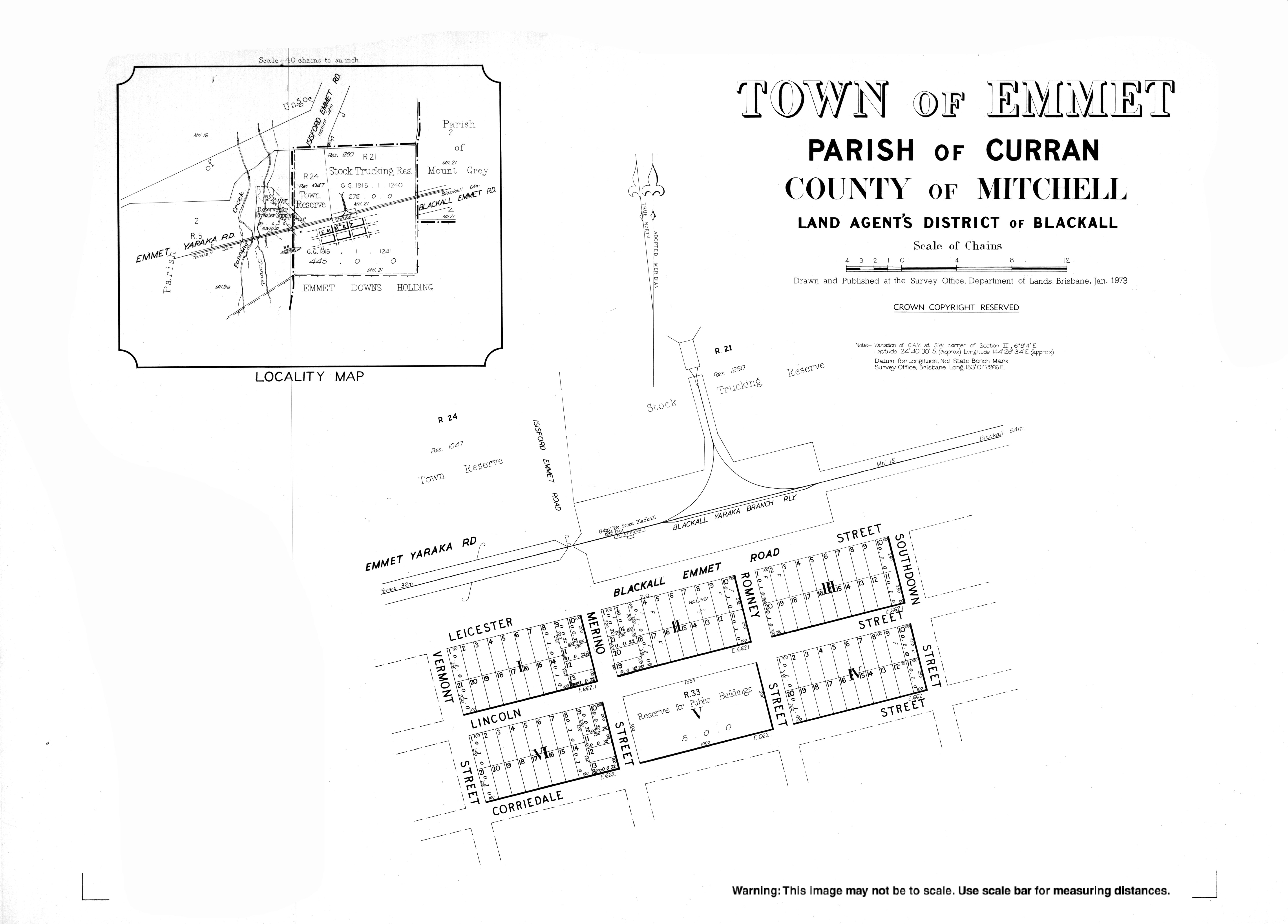
Emmet is a ghost town in the rural locality of Isisford in the Longreach Region of Queensland, Australia.[1]
Once a prosperous town built around a railway siding, today it only has a population of two.[citation needed] The site now contains a picnic shelter and a small museum that is housed in the former railway station building. Its relative proximity to the Idalia National Park makes it a popular stopping off point for tourists.[2]
References
- ^ "Emmet – town in Longreach Region (entry 11627)". Queensland Place Names. Queensland Government. Retrieved 27 December 2020.
- ^ "Emmet". Australian Explorer. Retrieved 30 December 2020.
{{cite web}}: CS1 maint: url-status (link)
External links
- "Town of Emmet" (Map). Queensland Government. 1973.