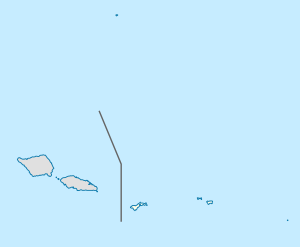
Alega, American Samoa
Appearance
Alega | |
|---|---|
Village | |
| Coordinates: 14°17′7″S 170°38′15″W / 14.28528°S 170.63750°W | |
| Country | |
| Territory | |
| Area | |
| • Total | 0.31 sq mi (0.79 km2) |
| Elevation | 26 ft (8 m) |
| Population (2000) | |
| • Total | 54 |
| • Density | 180/sq mi (68/km2) |
Alega is a village on the southeast coast of Tutuila Island, American Samoa. One of the island's least populous villages, it is located to the east of Pago Pago Harbor and to the west of Faga'itua Bay.
Alega lies between Lauli'i and Avaio villages, and is home to Alega Village Marine Protected Area. Tisa's Barefoot Bar is also in Alega, which is a bar that also operates a fale sleeping four on Alega Beach. The beach has a secluded character and is removed from the village. Bus services are frequent between Alega and Fagatogo.[1][2]
References
- ^ Stanley, David (2004). South Pacific. Moon Handbooks. Page 483. ISBN 9781566914116.
- ^ https://www.lonelyplanet.com/american-samoa/tutuila/activities/alega-beach/a/poi-act/1456123/362248

