Bebandem
Appearance
Bebandem | |
|---|---|
District | |
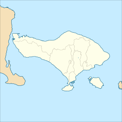
Location of the village in the Bali island. | |
| Coordinates: 8°24′16.56″S 115°32′22.20″E / 8.4046000°S 115.5395000°E | |
| Country | |
| Province | Bali |
| Regency | Karangasem Regency |
| Area | |
• Total | 81.86 km2 (31.61 sq mi) |
| Population | |
• Estimate (mid 2022) | 56,800 |
| Time zone | UTC+8 (WITA) |
| Postal code | 80861 [1] |
Bebandem District is a village and district (kecamatan) in Karangasem Regency, Bali, Indonesia. The area is 81.86 km2 and at the 2010 Census the population numbered 45,160.[2] the latest official estimate (as at mid 2022) is 56,800.[3]
Administrative division
[edit]Bebandem District consists of eight rural villages (desa) :
- Bebandem Village
- Giri Buana Village
- Budakeling Village
- Bungaya Village
- Bungaya Kangin Village
- Jungutan Village
- Macang Village
- Sibetan village
References
[edit]- ^ (in Indonesian) Unud Melaksanakan KKN PPM di Desa Bebandem
- ^ Biro Pusat Statistik, Jakarta, 2011.
- ^ Badan Pusat Statistik, Jakarta, 2023, Kabupaten Karangasem Dalam Angka 2023 (Katalog-BPS 1102001.5107)

