Cabo da Roca
| Cape Roca | |
|---|---|
 The Cabo da Roca lighthouse, overlooking the promontory towards the Atlantic Ocean | |
| Highest point | |
| Peak | Cabo da Roca, Sintra-Cascais Natural Park |
| Elevation | 140 m (460 ft) |
| Naming | |
| Etymology | roca Portuguese for sea cliff |
| Native name | Cabo da Roca Error {{native name checker}}: parameter value is malformed (help) |
| Geography | |
| Country | |
| Region | Lisboa |
| Subregion | Grande Lisboa |
| District | Lisbon |
| Parent range | Serra da Sintra |
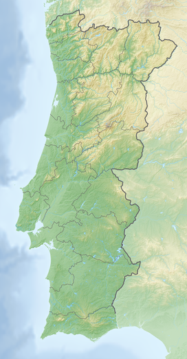
Cabo da Roca (Cape Roca) is a cape which forms the westernmost extent of mainland Portugal and continental Europe (and by definition the Eurasian land mass). The cape is in the Portuguese municipality of Sintra, near Azóia, in the southwest of the district of Lisbon, forming the westernmost extent of the Serra de Sintra.[1]
History
Aqui, onde a terra se acaba e o mar começa...[Here, where the land ends and the sea begins...]
Cabo da Roca was known to the Romans as Promontorium Magnum[1] and during the Age of Sail as the Rock of Lisbon.
Geography


The cape is located within the Sintra-Cascais Natural Park, 42 kilometres west of the city of Lisbon and in the southwest of Sintra. A location (38°47′N 9°30′W / 38.783°N 9.500°W) is inscribed on a stone plaque, located on a monument at the site.
The western coast is a mixture of sand beaches and rocky cliff promontories: around Cabo da Roca, cliffs are more than 100 metres in height, and cut into crystalline rocks, composed of strongly folded and faulted sedimentary units. These forms are disturbed by dikes and small beaches.[2] This promontory of "high" beaches is the extreme western immersion of the ancient eruptive Sintra massif, as evident from the rose-coloured granite in the north and syenite of the Ribeira do Louriçal in the south. In the vicinity of the Cape, there are geomorphological examples of gabbro-diorite, volcanic breccia, and granite.
Part of the granite formations show evidence of strong coastal erosion, while in other areas there are limestone deposits embedded in the granite.[3]
Much of the vegetation in this cape are low-lying and adapted to saltwater and windy conditions. Once home to a variety of plant life, Cabo da Roca has been overrun with the invasive plant species Carpobrotus edulis. This creeping, mat-forming plant, a member of the Aizoaceae succulent family, was introduced as ground cover by local residents several decades ago, but now covers much of the arable land on Cabo da Roca.
Many migratory and marine birds roost temporarily along the cliffs and protected coves of the coastal area.
See also

References
- Notes
- ^ a b "Cape Roca". Encyclopædia Britannica. 2008. Retrieved 12 August 2008.
- ^ Anja Scheffers and Dieter Kelletat (2005), p.6
- ^ António Oliveira Fonseca (2010), p.11
- Sources
- Fonseca, António Oliveira (November 2010), Relatório da Visita ao Parque Natural Sintra-Cascais (PDF) (in Portuguese), Lisbon, Portugal: Universidade Aberta, retrieved 28 September 2011
- Scheffers, Anja; Kelletat, Dieter (2005), "Tsunami Relics on the Coastal Landscape West of Lisbon, Portugal", Science of Tsunami Hazards (PDF), vol. 23, Essen, Germany: University of Duisburg-Essen, pp. 3–16, retrieved 28 September 2011
External links


