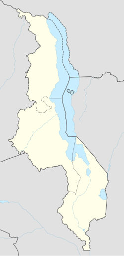
Chibanja, Mzuzu
Appearance
Chibanja, Mzuzu | |
|---|---|
| Coordinates: 10°55′59″S 34°03′00″E / 10.93306°S 34.05000°E | |
| Country | Malawi |
| Region | Northern Region, Malawi |
| Municipality | Mzuzu |
| Established | 1960 |
| Government | |
| • Type | Unitary presidential republic |
| Area | |
• Total | 9.00 km2 (3.47 sq mi) |
| Population (2018) | |
• Total | 16,909 |
| • Density | 1,900/km2 (4,900/sq mi) |
| Racial makeup (2018) | |
| • Black African | 90.0% |
| • Asian | 4.5% |
| • White Malawian | 3.5% |
| • Other | 1.0% |
| First languages (2018) | |
| • Tumbuka | 93.7% |
| • Tonga | 2.1% |
| • Other | 4.2% |
| Time zone | UTC+2 (CAT) |
Chibanja is a populated township in the city of Mzuzu, Northern Region, Malawi.[1][2] The town is home to Mzuzu Airport, the biggest airport in the Northern Region of international quality and third biggest in Malawi.
It is located in the North of Mzuzu. Its neighbourhood include Luwinga, Chibavi, Mchengautuba and Zolozolo.[3]
Geography
[edit]Chibanja is located North of Mzuzu city.
History
[edit]The name 'Chibanja' came in presence due to the town being close to the airport of Mzuzu. Chibanja is the Tumbuka word that means 'airport'.
Institutions
[edit]Institutions found in Chibanja include:
- Mzuzu Airport
- ChibanjaC.C.A.P. Church Presbyterian Church
- Chibanja Technical Colledge
- Chibanja Secondary School
- Chibanja Primary School
References
[edit]- ^ "Allowances gala: How COVID-19 funds meant for Katawa, Chiputula markets got misused – Purple Innovations". Retrieved 2024-03-17.
- ^ Chisamba, Thula (2015-10-10). "Mzuzu City Council retreats from war with vendors Malawi 24 | Latest News from Malawi". Malawi 24. Retrieved 2024-03-17.
- ^ "Mzuzu City road takes shape after Plem Construction Ltd design change - Malawi Nyasa Times - News from Malawi about Malawi". www.nyasatimes.com. 2017-07-13. Retrieved 2024-03-17.


