
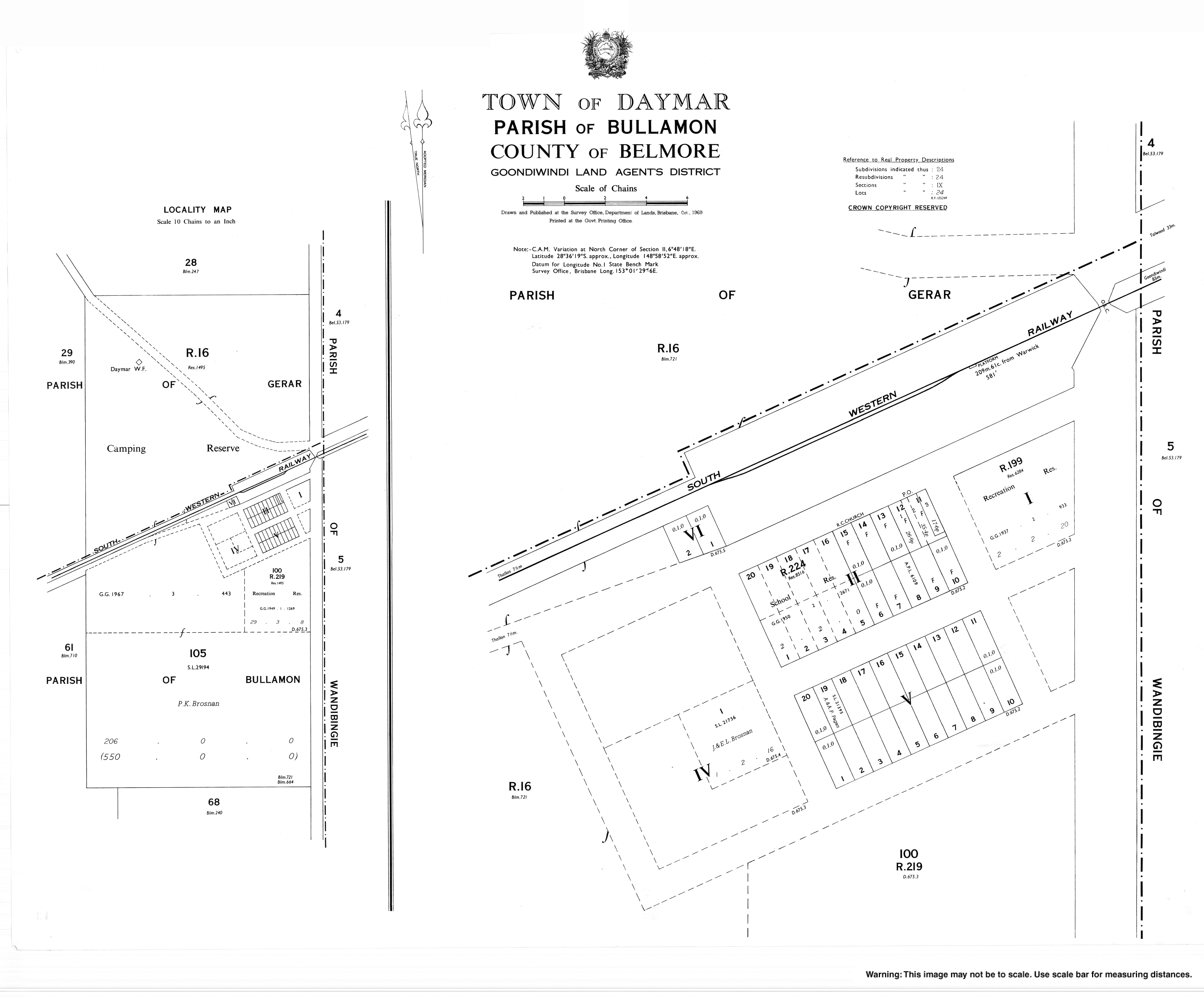
Daymar, Queensland
| Daymar Queensland | |
|---|---|
 Daymar | |
| Coordinates | 28°36′22″S 148°59′03″E / 28.60611°S 148.98417°E |
| Population | 41 (SAL 2021)[1] |
| LGA(s) | Goondiwindi Region |
| State electorate(s) | Southern Downs |
| Federal division(s) | Maranoa |
Daymar is a town and a locality in the Goondiwindi Region, Queensland, Australia.[2][3]
History
The town takes its name from the railway station, which in turn was named by Railways Department on 15 September 1911, and is thought to be an Aboriginal word, meaning red ridge.[2]
Daymar Provisional School opened on 11 March 1946, becoming Daymar State School in 1952. It closed on 9 December 1983.[4]
References
- ^ Australian Bureau of Statistics (28 June 2022). "Daymar (suburb and locality)". Australian Census 2021 QuickStats. Retrieved 28 June 2022.
- ^ a b "Daymar – town in Goondiwindi Region (entry 9478)". Queensland Place Names. Queensland Government. Retrieved 4 July 2017.
- ^ "Daymar – locality in Goondiwindi Region (entry 47807)". Queensland Place Names. Queensland Government. Retrieved 4 July 2017.
- ^ Queensland Family History Society (2010), Queensland schools past and present (Version 1.01 ed.), Queensland Family History Society, ISBN 978-1-921171-26-0