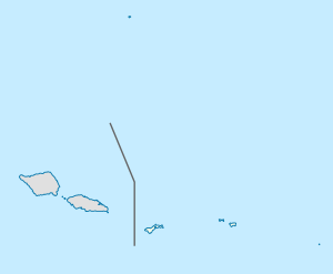
Fatumafuti, American Samoa
Appearance
Fatumafuti | |
|---|---|
Village | |
| Coordinates: 14°18′5″S 170°40′38″W / 14.30139°S 170.67722°W | |
| Country | |
| Territory | |
| Area | |
| • Total | 0.039 sq mi (0.102 km2) |
| Population (2000) | |
| • Total | 103 |
| • Density | 2,600/sq mi (1,000/km2) |
Fatumafuti is a village in central Tutuila Island, American Samoa. It is located at the easternmost point of the entrance to Pago Pago Harbor, south of Pago Pago and close to the promontory known as Fatu or Flowerpot Rock.

