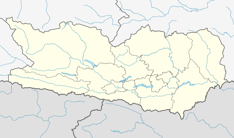
File:Austria Carinthia location map.svg
Appearance

Size of this PNG preview of this SVG file: 800 × 472 pixels. Other resolutions: 320 × 189 pixels | 640 × 378 pixels | 1,024 × 604 pixels | 1,280 × 755 pixels | 2,560 × 1,511 pixels | 1,342 × 792 pixels.
Original file (SVG file, nominally 1,342 × 792 pixels, file size: 932 KB)
File history
Click on a date/time to view the file as it appeared at that time.
| Date/Time | Thumbnail | Dimensions | User | Comment | |
|---|---|---|---|---|---|
| current | 17:31, 6 October 2013 |  | 1,342 × 792 (932 KB) | NordNordWest | corr |
| 16:55, 6 October 2013 |  | 1,342 × 792 (926 KB) | NordNordWest | projection corrected | |
| 11:53, 27 May 2009 |  | 848 × 389 (59 KB) | Rosso Robot | colour correction | |
| 20:42, 26 May 2009 |  | 848 × 389 (58 KB) | Rosso Robot | drau correction | |
| 18:44, 26 May 2009 |  | 848 × 389 (58 KB) | Rosso Robot | Reverted to version as of 18:38, 26 May 2009 | |
| 18:40, 26 May 2009 |  | 848 × 389 (58 KB) | Rosso Robot | plain svg | |
| 18:38, 26 May 2009 |  | 848 × 389 (58 KB) | Rosso Robot | {{Information |Description={{de|1=Positionskarte von Kärnten}} Quadratische Plattkarte. Geographische Begrenzung der Karte: * N: 47.13836° N * S: 46.36446° N * W: 12.62604° O * O: 15.08457° O}} {{en|1=Location map of [[:en |
File usage
The following 22 pages use this file:
- 1987 UCI Road World Championships
- 2017–18 Austrian Regionalliga
- 2018–19 Austrian Regionalliga
- Austrian Regionalliga Central
- Bleiburg
- Eisenkappel-Vellach
- Feistritz ob Bleiburg
- Ferlach
- Globasnitz
- Gurk, Carinthia
- Hermagor-Pressegger See
- Klagenfurt am Wörthersee
- Kärntner Liga
- Lavamünd
- Maria Saal
- Paternion
- Schloss Straßburg
- St. Georgen am Längsee
- Villach
- Zell, Carinthia
- Module:Location map/data/Austria Carinthia
- Module:Location map/data/Austria Carinthia/doc
Global file usage
The following other wikis use this file:
- Usage on ba.wikipedia.org
- Usage on bg.wikipedia.org
- Usage on cs.wikipedia.org
- Usage on cv.wikipedia.org
- Usage on de.wikipedia.org
- Hemmaberg
- Flughafen Klagenfurt
- Talübergang Lavant
- City-Arkaden Klagenfurt
- Eissportzentrum Klagenfurt
- Atrio
- Stadthalle Villach
- Mölltaler Gletscher
- ASK-Sportanlage Fischl
- Wörthersee Stadion
- Wikipedia:Kartenwerkstatt/Positionskarten/Europa
- Diskussion:Penk (Gemeinde Reißeck)
- Falkensteinbrücke
- Pfaffenbergbrücke
- Vorlage:Positionskarte Österreich Kärnten
- Klinikum Klagenfurt am Wörthersee
- Kärntner Eishockey-Derby
- Stadtpark Center Spittal
- Südpark (Einkaufszentrum)
- Affenberg Landskron
- Unfallkrankenhaus Klagenfurt
- Österreichische Fußballmeisterschaft 2012/13
- Skigebiet Großglockner Heiligenblut
- Lavanttal-Arena
- Österreichische Fußballmeisterschaft 2013/14
View more global usage of this file.


