Färila
Appearance
Färila | |
|---|---|
 | |
| Coordinates: 61°48′N 15°51′E / 61.800°N 15.850°E | |
| Country | Sweden |
| Province | Hälsingland |
| County | Gävleborg County |
| Municipality | Ljusdal Municipality |
| Area | |
• Total | 2.78 km2 (1.07 sq mi) |
| Population | |
• Total | 1,328 |
| • Density | 4,777/km2 (12,370/sq mi) |
| Time zone | UTC+1 (CET) |
| • Summer (DST) | UTC+2 (CEST) |
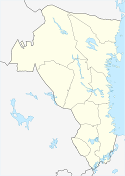
Färila (Swedish pronunciation: [ˈfæ̂ːrɪla])[3] is a locality situated in Ljusdal Municipality, Gävleborg County, Sweden with 1,328 inhabitants in 2020.[4][1] Färila is situated in a valley near the river Ljusnan. People to commute to and from Ljusdal. The town is an industrial centre in Ljusdal Municipality.
Sports
[edit]The following sports clubs are located in Färila:
References
[edit]- ^ a b c "Tätorternas landareal, folkmängd och invånare per km2 2005 och 2010" (in Swedish). Statistics Sweden. 14 December 2011. Archived from the original on 27 January 2012. Retrieved 10 January 2012.
- ^ "Färila (Ljusdal, Gävleborg, Sweden) - Population Statistics, Charts, Map, Location, Weather and Web Information". www.citypopulation.de. Retrieved 2023-08-22.
- ^ Jöran Sahlgren; Gösta Bergman (1979). Svenska ortnamn med uttalsuppgifter (in Swedish). p. 8.
- ^ "Färila (Ljusdal, Gävleborg, Sweden) - Population Statistics, Charts, Map, Location, Weather and Web Information". www.citypopulation.de. Retrieved 2023-08-22.


