Garden Route National Park
Appearance
| Garden Route National Park | |
|---|---|
 Storms River Mouth in the Tsitsikamma section of the park | |
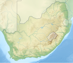
| Location | Western Cape & Eastern Cape, South Africa |
| Nearest city | George |
| Coordinates | 34°0′S 23°15′E / 34.000°S 23.250°E |
| Area | 1,210 km2 (470 sq mi) |
| Established | 6 March 2009 |
| Governing body | South African National Parks |
| www | |
The Garden Route National Park is a national park in the Garden Route region of South Africa. It was established on 6 March 2009 by amalgamating the existing Tsitsikamma and Wilderness National Parks, the Knysna National Lake Area, and various other areas of state-owned land.[1]
The park covers about 1,210 km2 (470 sq mi) of land; of this, about 685 km2 (264 sq mi) was already part of the predecessor national parks. The park includes a continuous complex of approximately 605 km2 (234 sq mi) of indigenous forest.[1]
References
- ^ a b "New Garden Route National Park Established". Department of Environmental Affairs and Tourism. 6 March 2009. Archived from the original on June 28, 2009. Retrieved 2008-03-09.
{{cite web}}: Unknown parameter|deadurl=ignored (|url-status=suggested) (help)
External links
Wikimedia Commons has media related to Garden Route National Park.


