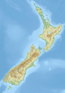
Mount Allen, Stewart Island
| Mount Allen | |
|---|---|
 | |
| Highest point | |
| Elevation | 750 m (2,460 ft)[1] |
| Coordinates | 47°05′09″S 167°47′56″E / 47.08591°S 167.79884°E[1] |
| Geography | |
| Location | Stewart Island/Rakiura, New Zealand |
Mount Allen is the second-highest peak on Stewart Island/Rakiura in southern New Zealand. Located in the southwest of the island, it lies 10 kilometres (6.2 mi) from the coast at Port Pegasus. Mount Allen rises to a height of 750 metres (2,460 ft) and is the highest point in a short range of hills known as Tin Range.[1] It is part of the Rakiura National Park.
References[edit]
- ^ a b c "Topographic map". NZTopoMap. Retrieved 29 May 2021.

