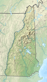
Mount Davis (New Hampshire)
| Mount Davis | |
|---|---|
| Highest point | |
| Elevation | 3,819 ft (1,164 m)[1] |
| Geography | |
| Location | Coös County, New Hampshire, U.S. |
| Region | US-NH |
| Parent range | Presidential Range |
| Topo map | USGS Stairs Mountain |
Mount Davis is a mountain located in Coos County, New Hampshire. The mountain is located along Montalban Ridge, a series of summits extending south from Mount Washington in the White Mountains.
Mount Davis is named after the Davis family of Massachusetts, a political dynasty whose members, over 220 years, have held at least 20 federal and state elected offices throughout New England.
See also
References
- ^ "Mount Davis, New Hampshire". Peakbagger.com. Retrieved 2013-01-30.
- ^ "Mount Davis". Geographic Names Information System. United States Geological Survey, United States Department of the Interior. Retrieved 2013-01-30.

