
Patansavangi
Patansavangi
Patansaongi, Patansawagi | |
|---|---|
town | |
| Country | |
| State | Maharashtra |
| District | Nagpur district |
| Taluka | Saoner |
| Languages | |
| • Official | Marathi |
| Time zone | UTC+5:30 (IST) |
| PIN | 441113 |
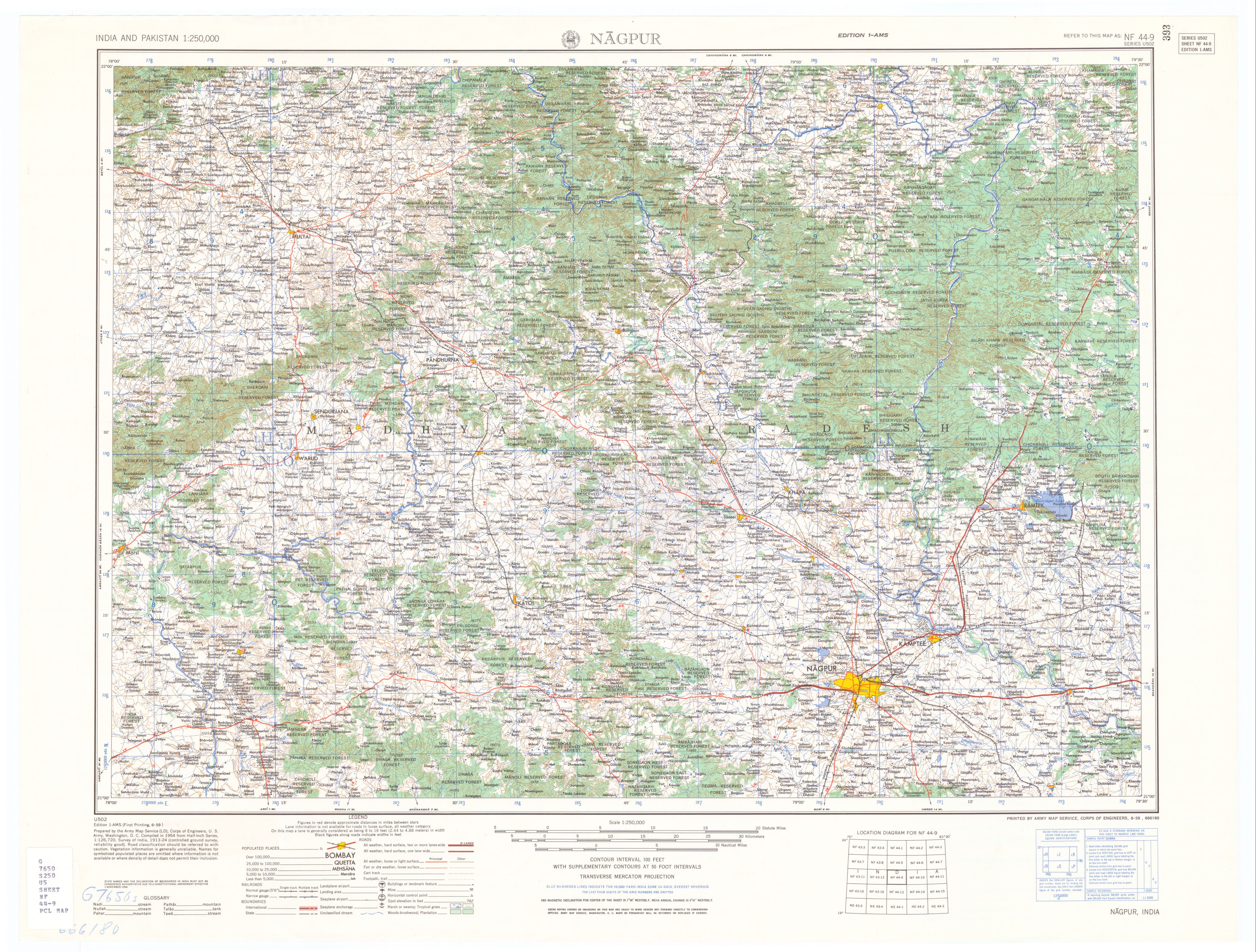
Patansavangi (Patansaongi,[1] Patansawagi) is a panchayat village[2] in Maharashtra State, India.[3][4] Administratively, Patansavangi is under the Saoner Taluk of Nagpur District in Maharashtra,[4] although earlier (1908) it had been part of the larger Ramtek taluka.[5] It lies on the left (east) bank of the Kolar River, just upstream from its confluence with the Chandrabhaga Nadi.[6] Patansavangi is 13 km by road southeast of the town of Saoner (Savner) and 25 km by road northwest of the town of Nagpur.
There are three villages in the Patansawagi gram panchayat: Patansavangi, Bidkawadas and Kawadas.[4]
Patansavangi is the site of a Gondi fort dating from the 16th century.[7] In 1742 there was a massacre at the fort of Gondi people who resisted Raghoji I Bhonsle, with a death toll of up to 12,000.[8]
Notes
- ^ Patansaongi (Approved) at GEOnet Names Server, United States National Geospatial-Intelligence Agency
- ^ 2011 Village Panchayat Code = 182540, for Patansawagi Gram Panchayat "Reports of National Panchayat Directory: Village Panchayat Names of Saoner, Nagpur, Maharashtra". Ministry of Panchayati Raj, Government of India.
- ^ 2001 Census Village code = 1030100, for Patansavangi village "2001 Census of India: List of Villages by Tehsil: Maharashtra" (PDF). Registrar General & Census Commissioner, India. p. 200. Archived from the original (PDF) on 13 November 2011.
{{cite web}}: Unknown parameter|deadurl=ignored (|url-status=suggested) (help) - ^ a b c 2011 Census Village code = 535314, for Patansavangi village "Reports of National Panchayat Directory: List of Census Villages mapped for: Patansawagi Gram Panchayat, Saoner, Nagpur, Maharashtra". Registrar General & Census Commissioner, India.
- ^ Central Provinces District Gazetteers, Volume 7, Nagpur District, Volume A, Descriptive. Bombay: Gazetteer Department, Government of Maharashtra. 1999. p. 326. revision of 1908 edition
- ^ Nagpur (topographic map, 1:250,000), series U502, sheet NF 44-09, United States Army Map Service, June 1959
- ^ Russell, R. V., ed. (1907). Central Provinces District Gazetteers: Chhindwara District, Volume A: Descriptive. Bombay, India: Times Press. p. 28.
- ^ The Gazetteer of the Central Provinces of India. 1870. p. 303.