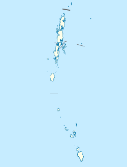
Ramzoo
Appearance
Ramzoo
Ramjaw, Ramjoo | |
|---|---|
village | |
| Coordinates: 8°07′16″N 93°28′45″E / 8.121189°N 93.479112°E | |
| Country | India |
| State | Andaman and Nicobar Islands |
| District | Nicobar |
| Tehsil | Nancowry |
| Population (2011) | |
| • Total | 98 |
| Time zone | UTC+5:30 (IST) |
| Census code | 645126 |
Ramzoo is a village in the Nicobar district of Andaman and Nicobar Islands, India. It is located in the Nancowry tehsil.[1]
Demographics
The village was severely affected by the 2004 Indian Ocean earthquake and tsunami.[2] According to the 2011 census of India, Ramzoo has 23 households. The effective literacy rate (i.e. the literacy rate of population excluding children aged 6 and below) is 77.5%.[3]
| Total | Male | Female | |
|---|---|---|---|
| Population | 98 | 48 | 50 |
| Children aged below 6 years | 18 | 8 | 10 |
| Scheduled caste | 0 | 0 | 0 |
| Scheduled tribe | 97 | 47 | 50 |
| Literates | 62 | 32 | 30 |
| Workers (all) | 36 | 20 | 16 |
| Main workers (total) | 3 | 1 | 2 |
| Main workers: Cultivators | 0 | 0 | 0 |
| Main workers: Agricultural labourers | 1 | 0 | 1 |
| Main workers: Household industry workers | 0 | 0 | 0 |
| Main workers: Other | 2 | 1 | 1 |
| Marginal workers (total) | 33 | 19 | 14 |
| Marginal workers: Cultivators | 1 | 0 | 1 |
| Marginal workers: Agricultural labourers | 0 | 0 | 0 |
| Marginal workers: Household industry workers | 3 | 1 | 2 |
| Marginal workers: Others | 29 | 18 | 11 |
| Non-workers | 62 | 28 | 34 |
References
- ^ "Andaman and Nicobar Islands villages" (PDF). Land Records Information Systems Division, NIC. Retrieved 25 July 2015.
- ^ Historic submergence and tsunami destruction of Nancowrie, Kamorta, Katchall and Trinket Islands of Nicobar district: Consequences of 26 December 2004 Sumatra–Andaman earthquake by M. G. Thakkar and Bhanu Goyal. Current Science, Volume 90, No. 7. 10 April 2006.
- ^ a b "District Census Handbook - Andaman & Nicobar Islands" (PDF). 2011 Census of India. Directorate of Census Operations, Andaman & Nicobar Islands. Retrieved 21 July 2015.


