Romsdalshornet
| Romsdalshornet | |
|---|---|
 Romsdalshornet seen from the valley Credit: Axel Lindahl, 1890 | |
| Highest point | |
| Elevation | 1,550 m (5,090 ft) |
| Prominence | 410 m (1,350 ft) |
| Coordinates | 62°29′28″N 07°47′09″E / 62.49111°N 7.78583°E |
| Geography | |
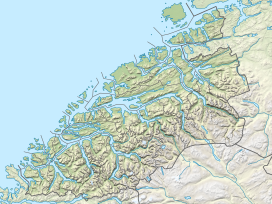
Location in Møre og Romsdal | |
| Location | Rauma, Møre og Romsdal, Norway |
| Parent range | Romsdalsalpene |
| Topo map | 1319 II Romsdalen |
| Climbing | |
| First ascent | ca. 1828 by Christen Smed & Hans Bjermeland |
| Easiest route | Climbing |
Romsdalshornet is a mountain in the municipality of Rauma in Møre og Romsdal county, Norway. The mountain is located 10 kilometres (6.2 mi) southeast of Åndalsnes, along the Rauma River/Romsdalen valley, Rauma railway line and the highway ![]() E136 . The mountain Store Venjetinden lies 3 kilometres (1.9 mi) east of the mountain and 3 kilometres (1.9 mi) to the west (across the valley) lies the mountain Store Trolltind—part of the Troll Wall/Trollryggen ridge.
E136 . The mountain Store Venjetinden lies 3 kilometres (1.9 mi) east of the mountain and 3 kilometres (1.9 mi) to the west (across the valley) lies the mountain Store Trolltind—part of the Troll Wall/Trollryggen ridge.

Romsdalshornet is a popular mountain for climbing, which is best done in late summer. Descent by rappel is recommended.[1]
History
The first "official" ascent was 1 September 1881 by the Danish climber, Carl Hall, together with Norwegians, Erik Norahagen and Mathias Soggemoen. They arrived only to discover a cairn set up by Christen Smed and Hans Bjermeland around 1828. Previously none believed Romsdalshornet had really summitted until Hall discovered their cairn.[2][3]
Arne Randers Heen made the first winter ascent of Romsdalshorn in 1930.[1]
References
- ^ a b Store norske leksikon. "Romsdalshorn" (in Norwegian). Retrieved 2010-10-26.
- ^ Dyer, Anthony; Baddeley, John; Robertson, Ian H. (2006). Walks and Scrambles in Norway. Rockbuy Limited. ISBN 978-1-904466-25-3.
- ^ Howard, Tony (1970). Climbs, Scrambles and Walks in Romsdal. Cordee. ISBN 978-1-904207-24-5.
External links


